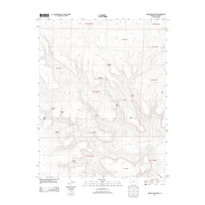
2013 Map of Cobert Mesa North
USGS Topo · Published 2013About this map
Mesa de Maya dominates the northern reaches of this high-altitude landscape, where the plateaus of Las Animas County begin to fracture into a complex network of steep drainages. The topography is defined by prominent landforms such as Jesus Mesa and Cotton Mesa, separated by narrow corridors like Cotton Gap. This 2013 survey reveals a terrain shaped by erosion, with deep incisions like Honeymoon Canyon, Steel Trap Canyon, and Gotera Canyon carving into the limestone and sandstone layers. The isolation of these features is underscored by the sparse road network, consisting primarily of routes like Co RD-181 and Co RD-b039 that skirt the lower elevations near Cobert Mesa. The mapping of family-named or descriptive landmarks like Rodriques Canyon and The Hogback provides essential spatial context for this part of the Colorado high plains.
Find a feature on this map
27 named features on this map. Tap any name to fly to it.
Don’t see what you’re looking for? This feature index may not catch every label — zoom into the map to look around manually.
Map Details
Editions of this 2013 Cobert Mesa North Map
This is the sole edition of this map. No revisions or reprints were ever made.
Other maps of this area

1891 · Mesa De Maya
USGS Topo · 1:125,000

1892 · Mt Carrizo
USGS Topo · 1:125,000

1893 · Mesa de Maya
USGS Topo · 1:125,000

1954 · Dalhart
USGS Topo · 1:250,000

1955 · La Junta
USGS Topo · 1:250,000

1958 · La Junta
USGS Topo · 1:250,000

1958 · Dalhart
USGS Topo · 1:250,000

1962 · Dalhart
USGS Topo · 1:250,000

1968 · La Junta
USGS Topo · 1:250,000

1972 · Travesser Park
USGS Topo · 1:24,000