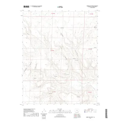
2019 Map of Cobert Mesa North
USGS Topo · Published 2019About this map
Mesa de Maya and Jesus Mesa define this high-altitude landscape in the southeastern corner of Colorado, where the tabletop terrain is carved by a complex network of drainages. The topography is marked by significant landmarks like the Seven L Buttes and the prominent ridge known as The Hogback. This modern record reveals a territory primarily shaped by natural landforms and remote access, with Co RD 181 providing one of the few named transportation routes through the area.
Find a feature on this map
27 named features on this map. Tap any name to fly to it.
Don’t see what you’re looking for? This feature index may not catch every label — zoom into the map to look around manually.
Map Details
Editions of this 2019 Cobert Mesa North Map
This is the sole edition of this map. No revisions or reprints were ever made.
Other maps of this area

1891 · Mesa De Maya
USGS Topo · 1:125,000

1892 · Mt Carrizo
USGS Topo · 1:125,000

1893 · Mesa de Maya
USGS Topo · 1:125,000

1954 · Dalhart
USGS Topo · 1:250,000

1955 · La Junta
USGS Topo · 1:250,000

1958 · La Junta
USGS Topo · 1:250,000

1958 · Dalhart
USGS Topo · 1:250,000

1962 · Dalhart
USGS Topo · 1:250,000

1968 · La Junta
USGS Topo · 1:250,000

1972 · Travesser Park
USGS Topo · 1:24,000