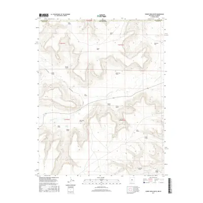
2017 Map of Cobert Mesa South
USGS Topo · Published 2017About this map
Cobert Mesa dominates the high ground of this landscape where Las Animas County, Colorado meets Union County, New Mexico. The drainage system is defined by the Dry Cimarron River, which cuts through the canyon-scored terrain alongside intermittent waterways like Travesser Cr. The map reveals a complex network of named landforms, including Huey Canyon and Indian Trail Canyon, which suggest historical passage through these high plains. Water resources are localized at points such as Gleason Springs, a critical feature for ranching and wildlife in this arid environment. The presence of Long Canyon Rd and Co RD b036 indicates the primary modern access routes through the deep incisions of Long Canyon and White Rock Canyon, connecting disparate parcels of land across the state line.
Find a feature on this map
28 named features on this map. Tap any name to fly to it.
Don’t see what you’re looking for? This feature index may not catch every label — zoom into the map to look around manually.
Map Details
Editions of this 2017 Cobert Mesa South Map
This is the sole edition of this map. No revisions or reprints were ever made.
Other maps of this area

1891 · Mesa De Maya
USGS Topo · 1:125,000

1892 · Mt Carrizo
USGS Topo · 1:125,000

1893 · Mesa de Maya
USGS Topo · 1:125,000

1954 · Dalhart
USGS Topo · 1:250,000

1955 · La Junta
USGS Topo · 1:250,000

1958 · La Junta
USGS Topo · 1:250,000

1958 · Dalhart
USGS Topo · 1:250,000

1962 · Dalhart
USGS Topo · 1:250,000

1968 · La Junta
USGS Topo · 1:250,000

1972 · Travesser Park
USGS Topo · 1:24,000