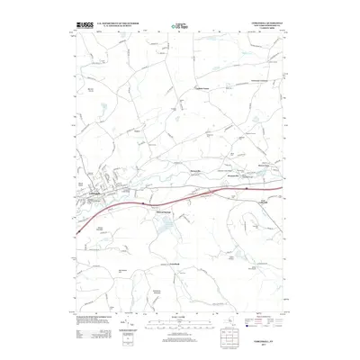
2013 Map of Cobleskill
USGS Topo · Published 2013About this map
Cobleskill and its surrounding Schoharie County hamlets are documented in this 2013 survey, which traces the complex water and rail networks of the northern Catskills. The Cobleskill Cr winds through the central valley, crossed by the Delaware and Hudson Railroad Bridge and the Cobleskill Creek Bridge, illustrating the region's historic dependence on these transport corridors. Nearby, the Cobleskill Reservoir and Russell Lake dominate the hydrography south of Mineral Springs.
Find a feature on this map
141 named features on this map. Tap any name to fly to it.
Don’t see what you’re looking for? This feature index may not catch every label — zoom into the map to look around manually.
Map Details
Editions of this 2013 Cobleskill Map
This is the sole edition of this map. No revisions or reprints were ever made.
Other maps of this area
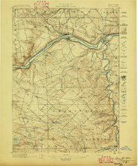
1896 · Fonda
USGS Topo · 1:62,500
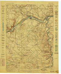
1898 · Fonda
USGS Topo · 1:62,500
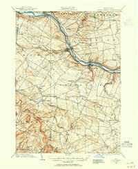
1898 · Canajoharie
USGS Topo · 1:62,500
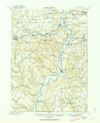
1898 · Schoharie
USGS Topo · 1:62,500
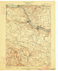
1900 · Canajoharie
USGS Topo · 1:62,500
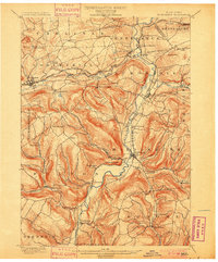
1900 · Schoharie
USGS Topo · 1:62,500
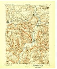
1900 · Schoharie
USGS Topo · 1:31,680
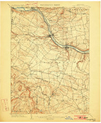
1902 · Canajoharie
USGS Topo · 1:62,500
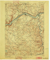
1902 · Fonda
USGS Topo · 1:62,500
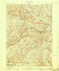
1904 · Richmondville
USGS Topo · 1:62,500