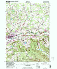
1996 Map of Cobleskill
USGS Topo · Published 2000About this map
Cobleskill serves as the primary hub of this Schoharie County landscape, anchored by the State University of New York Agricultural and Technical College at Cobleskill. The town's development follows the path of Cobleskill Creek, while the surrounding terrain is defined by dramatic subterranean features and surface ridges. Geologic interest is concentrated to the east, where Howe Caverns and Secret Caverns are prominently marked near the settlement of Howes Cave.
Find a feature on this map
58 named features on this map. Tap any name to fly to it.
Don’t see what you’re looking for? This feature index may not catch every label — zoom into the map to look around manually.
Map Details
Editions of this 1996 Cobleskill Map
This is the sole edition of this map. No revisions or reprints were ever made.
Other maps of this area
1896 · Fonda
USGS Topo · 1:62,500
1898 · Fonda
USGS Topo · 1:62,500
1898 · Canajoharie
USGS Topo · 1:62,500
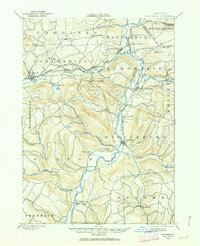
1898 · Schoharie
USGS Topo · 1:62,500
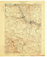
1900 · Canajoharie
USGS Topo · 1:62,500
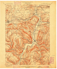
1900 · Schoharie
USGS Topo · 1:62,500
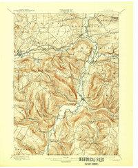
1900 · Schoharie
USGS Topo · 1:31,680
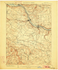
1902 · Canajoharie
USGS Topo · 1:62,500
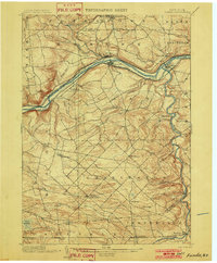
1902 · Fonda
USGS Topo · 1:62,500
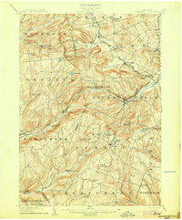
1904 · Richmondville
USGS Topo · 1:62,500