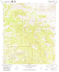
1979 Map of Cochise Head
USGS Topo · Published 1979About this map
Chiricahua National Monument dominates the southern reaches of this landscape, showcasing a complex network of canyons and high peaks within the Coronado National Forest. This 1970s survey captures the area's mix of protected wilderness and historical activity, from the Monument Headquarters and Faraway Ranch to the remote Taylor Place (Site). The terrain is defined by dramatic features like the massive profile of Cochise Head and the geological formation at Natural Bridge. Evidence of the region's mining history is preserved at the King of Lead Mine and the Willie Rose Mine, while a network of pack trails and jeep trails winds through steep drainage systems like Echo Canyon and Bitter Creek. This map serves as an essential record for tracing the early administrative and resource-extraction history of the Chiricahua Mountains before modern infrastructure altered the more remote reaches of these high desert canyons.
Find a feature on this map
71 named features on this map. Tap any name to fly to it.
Don’t see what you’re looking for? This feature index may not catch every label — zoom into the map to look around manually.
Map Details
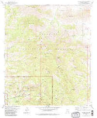
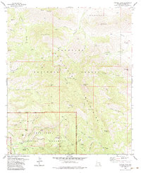
Editions of this 1979 Cochise Head Map
3 editions found
Other maps of this area

1917 · San Simon
USGS Topo · 1:125,000

1917 · Chiricahua
USGS Topo · 1:125,000

1919 · Chiricahua
USGS Topo · 1:125,000

1926 · Cochise Head
USGS Topo · 1:62,500

1926 · Rodeo
USGS Topo · 1:62,500

1926 · Rucker
USGS Topo · 1:62,500

1928 · Chenoweth
USGS Topo · 1:62,500

1950 · Cochise Head
USGS Topo · 1:62,500

1950 · Vanar
USGS Topo · 1:62,500

1951 · Vanar
USGS Topo · 1:62,500