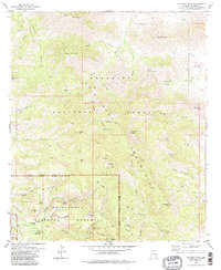
1979 Map of Cochise Head
USGS Topo · Published 1983About this map
The high ridges and deep canyons of the Chiricahua Mountains dominate this 1979 survey, which details the overlap of the Coronado National Forest and the Chiricahua National Monument. The terrain is marked by dramatic geological features, including the towering Cochise Head and San Simon Head, alongside the subterranean interests of the Willie Rose Mine and King of Lead Mine. Historical land use is evident at the Faraway Ranch near the southwest corner, while the presence of a solitary Grave and the Taylor Place (Site) hint at the region's scattered pioneer history.
Find a feature on this map
66 named features on this map. Tap any name to fly to it.
Don’t see what you’re looking for? This feature index may not catch every label — zoom into the map to look around manually.
Map Details
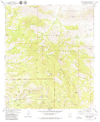
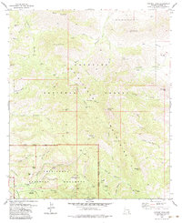
Editions of this 1979 Cochise Head Map
3 editions found
Other maps of this area

1917 · San Simon
USGS Topo · 1:125,000

1917 · Chiricahua
USGS Topo · 1:125,000

1919 · Chiricahua
USGS Topo · 1:125,000

1926 · Cochise Head
USGS Topo · 1:62,500

1926 · Rodeo
USGS Topo · 1:62,500

1926 · Rucker
USGS Topo · 1:62,500

1928 · Chenoweth
USGS Topo · 1:62,500

1950 · Cochise Head
USGS Topo · 1:62,500

1950 · Vanar
USGS Topo · 1:62,500

1951 · Vanar
USGS Topo · 1:62,500