
2011 Map of Cochran
USGS Topo · Published 2011About this map
Cochran serves as the primary urban center for this portion of Bleckley County, showing a detailed street grid and significant local landmarks like Cedar Hill Cemetery. The surrounding landscape is defined by its complex network of waterways, including the winding Gum Swamp Creek and Evergreen Creek, which shaped the area's agricultural and civil development. Smaller rural hubs like Five Points illustrate the transition from the concentrated town center to the outlying fields and timberlands. Aviation history is visible through both the Cochran Airport and the private Jimmy Wimberly Air Field. Hydrological features such as Nesmith Pond and Hill Lake, along with their respective dams, reflect the managed water resources used for both recreation and local utility. This survey provides a clear view of the county's infrastructure, from the Chester Cochran Hwy to the numerous rural routes that connect isolated family cemeteries like Jones Cemetery and Barbour Cemetery to the heart of the community.
Find a feature on this map
81 named features on this map. Tap any name to fly to it.
Don’t see what you’re looking for? This feature index may not catch every label — zoom into the map to look around manually.
Map Details
Editions of this 2011 Cochran Map
This is the sole edition of this map. No revisions or reprints were ever made.
Other maps of this area

1956 · Cochran
USGS Topo · 1:62,500

1956 · Jeffersonville
USGS Topo · 1:62,500

1957 · Macon
USGS Topo · 1:250,000

1958 · Macon
USGS Topo · 1:250,000

1964 · Macon
USGS Topo · 1:250,000

1973 · Tarversville
USGS Topo · 1:24,000
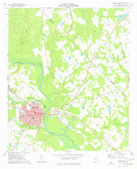
1973 · Hawkinsville
USGS Topo · 1:24,000

1974 · Chester
USGS Topo · 1:24,000

1974 · Danville East
USGS Topo · 1:24,000
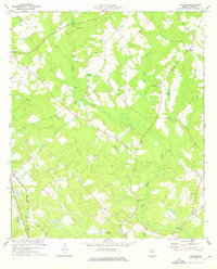
1974 · Yonkers
USGS Topo · 1:24,000