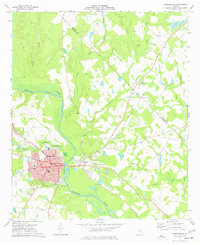
1973 Map of Hawkinsville
USGS Topo · Published 1977About this map
Hawkinsville serves as the focal point of this 1973 survey, situated along the western bank of the Ocmulgee River. The city's grid is well-defined by central arteries like Broad St and Commerce St, where the local Post Office and Hospital are established. To the east, across the river, lies Hartford, connected by a bridge that bridges the gap between the urban center and the Hawkinsville Airport.
Find a feature on this map
45 named features on this map. Tap any name to fly to it.
Don’t see what you’re looking for? This feature index may not catch every label — zoom into the map to look around manually.
Map Details
Editions of this 1973 Hawkinsville Map
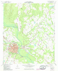
2 editions found
Other maps of this area

1956 · Cochran
USGS Topo · 1:62,500

1956 · Perry
USGS Topo · 1:62,500

1957 · Macon
USGS Topo · 1:250,000

1958 · Macon
USGS Topo · 1:250,000

1964 · Macon
USGS Topo · 1:250,000

1972 · Finleyson East
USGS Topo · 1:24,000

1972 · West Of Eastman
USGS Topo · 1:24,000

1972 · Finleyson West
USGS Topo · 1:24,000

1973 · Hayneville
USGS Topo · 1:24,000

1973 · Klondike
USGS Topo · 1:24,000