
1973 Map of Hayneville
USGS Topo · Published 1976About this map
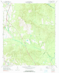
The Southern railroad corridor and the winding course of the Ocmulgee River define the agricultural landscape of Houston County in the mid-1970s. The settlement of Kathleen serves as a northern anchor, marked by the Kathleen Ch and the Kathleen Lookout Tower overlooking the surrounding timber and creek bottoms. To the south, the village of Hayneville is detailed with its Athletic Field and local thoroughfares like Wimberly Road and Henson Road.
Find a feature on this map
26 named features on this map. Tap any name to fly to it.
Don’t see what you’re looking for? This feature index may not catch every label — zoom into the map to look around manually.
Map Details
Editions of this 1973 Hayneville Map
2 editions found
Other maps of this area

1956 · Cochran
USGS Topo · 1:62,500

1956 · Perry
USGS Topo · 1:62,500

1956 · Warner Robins
USGS Topo · 1:62,500

1956 · Jeffersonville
USGS Topo · 1:62,500

1957 · Macon
USGS Topo · 1:250,000

1958 · Macon
USGS Topo · 1:250,000

1964 · Macon
USGS Topo · 1:250,000

1973 · Klondike
USGS Topo · 1:24,000
1973 · Unadilla
USGS Topo · 1:24,000

1973 · Tarversville
USGS Topo · 1:24,000