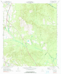
1973 Map of Hayneville
USGS Topo · Published 1991About this map
Kathleen and Hayneville anchor this 1970s landscape in Houston County, where the Southern railroad line cuts a straight path through the western terrain. The geography is defined by a dense network of waterways feeding toward the Ocmulgee River, which forms the eastern boundary. Smaller communities like Sand Bed are situated along local thoroughfares such as Sand Bed Road and Davis Road.
Find a feature on this map
29 named features on this map. Tap any name to fly to it.
Don’t see what you’re looking for? This feature index may not catch every label — zoom into the map to look around manually.
Map Details
Editions of this 1973 Hayneville Map
2 editions found
Other maps of this area

1956 · Cochran
USGS Topo · 1:62,500

1956 · Perry
USGS Topo · 1:62,500

1956 · Warner Robins
USGS Topo · 1:62,500

1956 · Jeffersonville
USGS Topo · 1:62,500

1957 · Macon
USGS Topo · 1:250,000

1958 · Macon
USGS Topo · 1:250,000

1964 · Macon
USGS Topo · 1:250,000

1973 · Hayneville
USGS Topo · 1:24,000

1973 · Klondike
USGS Topo · 1:24,000
1973 · Unadilla
USGS Topo · 1:24,000