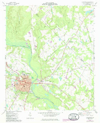
1973 Map of Hawkinsville
USGS Topo · Published 1986About this map
Hawkinsville serves as the focal point of this survey, positioned at a critical crossing of the Ocmulgee River in central Georgia. The street grid is well-defined, featuring thoroughfares like Broad St and Commerce St, which center the town's commercial and civic life near the Armory and Pulaski Co Sch. Directly across the river, the settlement of Hartford connects via a bridge, highlighting the historical relationship between these two riverfront communities.
Find a feature on this map
49 named features on this map. Tap any name to fly to it.
Don’t see what you’re looking for? This feature index may not catch every label — zoom into the map to look around manually.
Map Details
Editions of this 1973 Hawkinsville Map
2 editions found

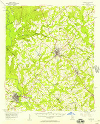
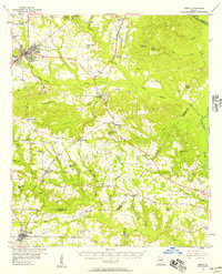
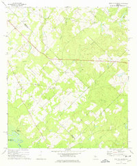
Other maps of this area
1956 · Cochran
USGS Topo · 1:62,500
1956 · Perry
USGS Topo · 1:62,500

1957 · Macon
USGS Topo · 1:250,000

1958 · Macon
USGS Topo · 1:250,000

1964 · Macon
USGS Topo · 1:250,000

1972 · Finleyson East
USGS Topo · 1:24,000
1972 · West Of Eastman
USGS Topo · 1:24,000
1972 · Finleyson West
USGS Topo · 1:24,000
1973 · Hayneville
USGS Topo · 1:24,000
1973 · Klondike
USGS Topo · 1:24,000