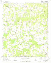
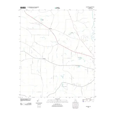
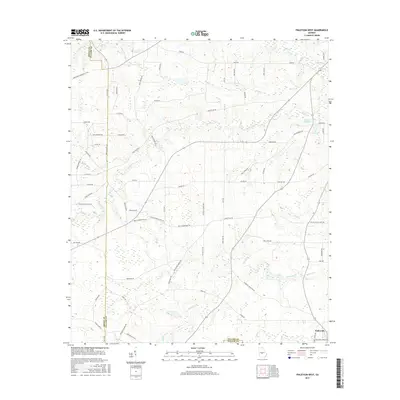
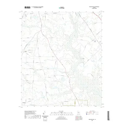
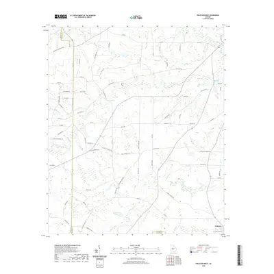
1972 Map of Finleyson West
USGS Topo · Published 1975About this map
The agricultural landscape of central Georgia is defined here by a network of rural churches and creek branches during the early 1970s. Small community hubs like Lenwood and Belleview anchor the countryside, while the Pulaski High school serves the central area near Antioch Ch. The terrain is characterized by its drainage into the Ocmulgee River system, with Tenmile Creek and Bluff Creek carving through the southern portion of the quadrangle.
Find a feature on this map
26 named features on this map. Tap any name to fly to it.
Don’t see what you’re looking for? This feature index may not catch every label — zoom into the map to look around manually.
Map Details
Editions of this 1972 Finleyson West Map
This is the sole edition of this map. No revisions or reprints were ever made.
Historical Maps of Finleyson Through Time
18 maps found

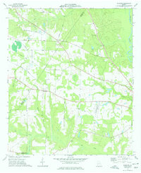
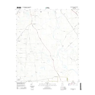
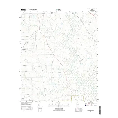
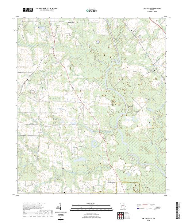
1972 Finleyson East
Pulaski County, GA
1972 Finleyson West
Pulaski County, GA
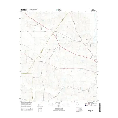
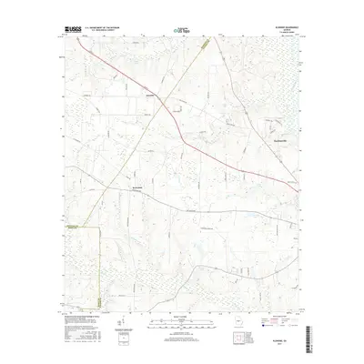
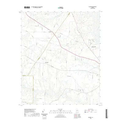
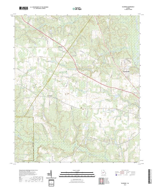
1973 Klondike
Pulaski County, GA
2011 Finleyson East
Pulaski County, GA
2011 Finleyson West
Pulaski County, GA
2011 Klondike
Pulaski County, GA
2014 Finleyson East
Pulaski County, GA
2014 Finleyson West
Pulaski County, GA
2014 Klondike
Pulaski County, GA
2017 Finleyson East
Pulaski County, GA
2017 Finleyson West
Pulaski County, GA
2017 Klondike
Pulaski County, GA
2020 Finleyson East
Pulaski County, GA
2020 Finleyson West
Pulaski County, GA
2020 Klondike
Pulaski County, GA
2024 Finleyson East
Pulaski County, GA

2024 Finleyson West
Pulaski County, GA
2024 Klondike
Pulaski County, GA