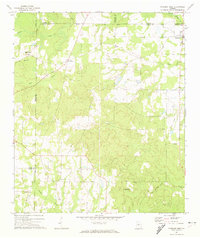
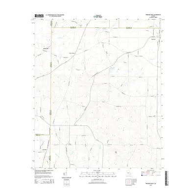
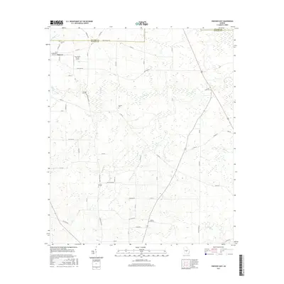
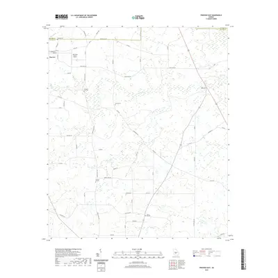
1971 Map of Pineview West
USGS Topo · Published 1974About this map
Wilcox County and its neighbors in South Central Georgia appear here in a detailed topographic study. The landscape is defined by the winding course of the Alapaha River in the southwest and a network of creeks including Tenmile Creek, Bear Creek, and Cedar Creek. This agrarian region is dotted with numerous country congregations, such as Antioch Ch and Spring Hill Ch, which served as the social anchors for scattered rural communities.
Find a feature on this map
27 named features on this map. Tap any name to fly to it.
Don’t see what you’re looking for? This feature index may not catch every label — zoom into the map to look around manually.
Map Details
Editions of this 1971 Pineview West Map
This is the sole edition of this map. No revisions or reprints were ever made.
Historical Maps of Pineview Through Time
24 maps found
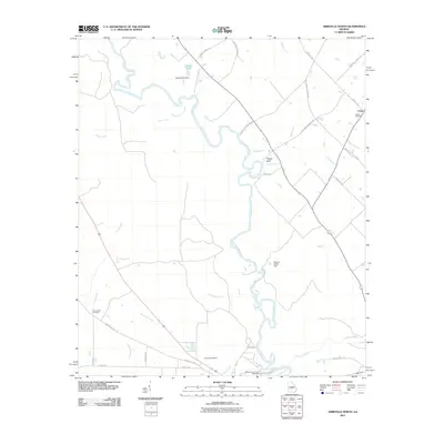
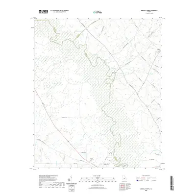
1971 Pineview West
Wilcox County, GA
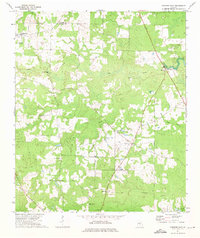
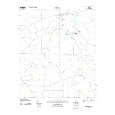
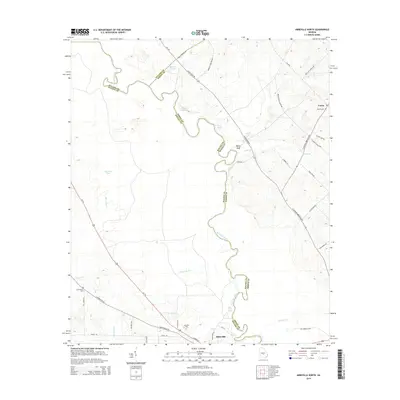
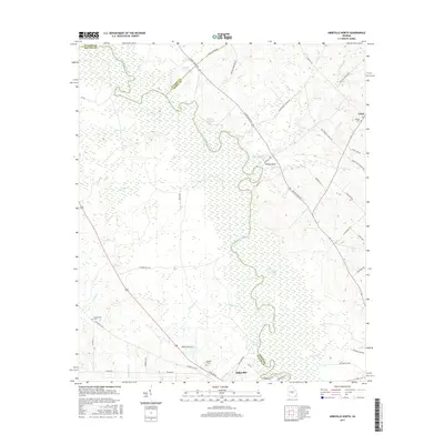
1972 Abbeville North
Wilcox County, GA
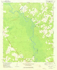
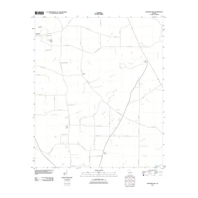
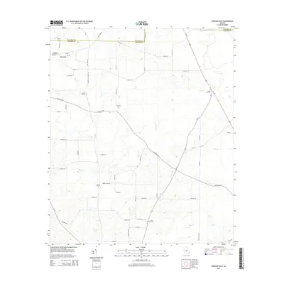
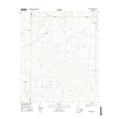
1972 Pineview East
Wilcox County, GA
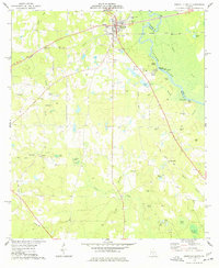
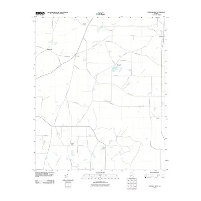
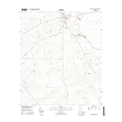
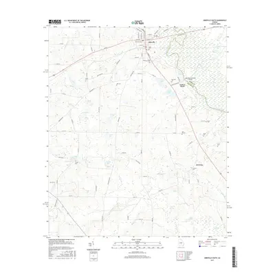
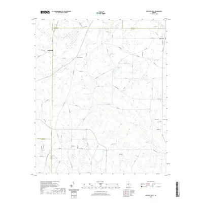
1974 Abbeville South
Wilcox County, GA
2011 Abbeville North
Wilcox County, GA
2011 Abbeville South
Wilcox County, GA
2011 Pineview East
Wilcox County, GA
2011 Pineview West
Wilcox County, GA
2014 Abbeville North
Wilcox County, GA
2014 Abbeville South
Wilcox County, GA
2014 Pineview East
Wilcox County, GA
2014 Pineview West
Wilcox County, GA
2017 Abbeville North
Wilcox County, GA
2017 Abbeville South
Wilcox County, GA
2017 Pineview East
Wilcox County, GA
2017 Pineview West
Wilcox County, GA
2020 Abbeville North
Wilcox County, GA

2020 Abbeville South
Wilcox County, GA
2020 Pineview East
Wilcox County, GA
2020 Pineview West
Wilcox County, GA
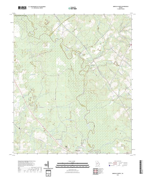
2024 Abbeville North
Wilcox County, GA
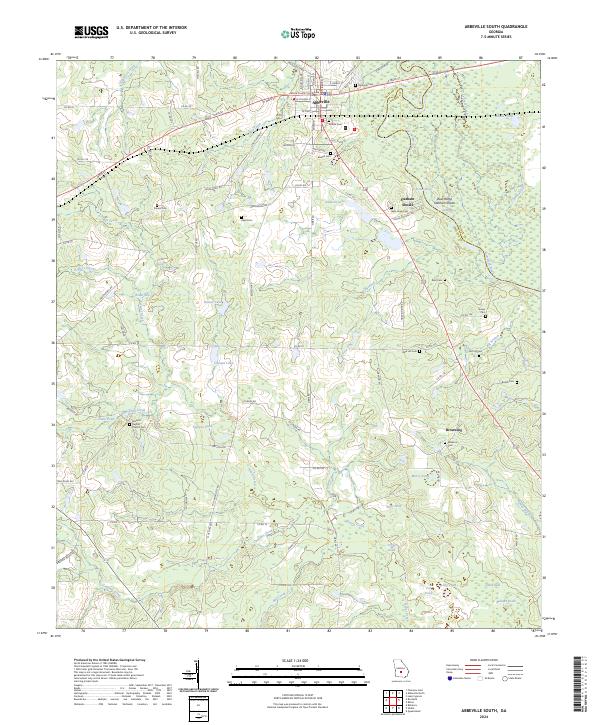
2024 Abbeville South
Wilcox County, GA
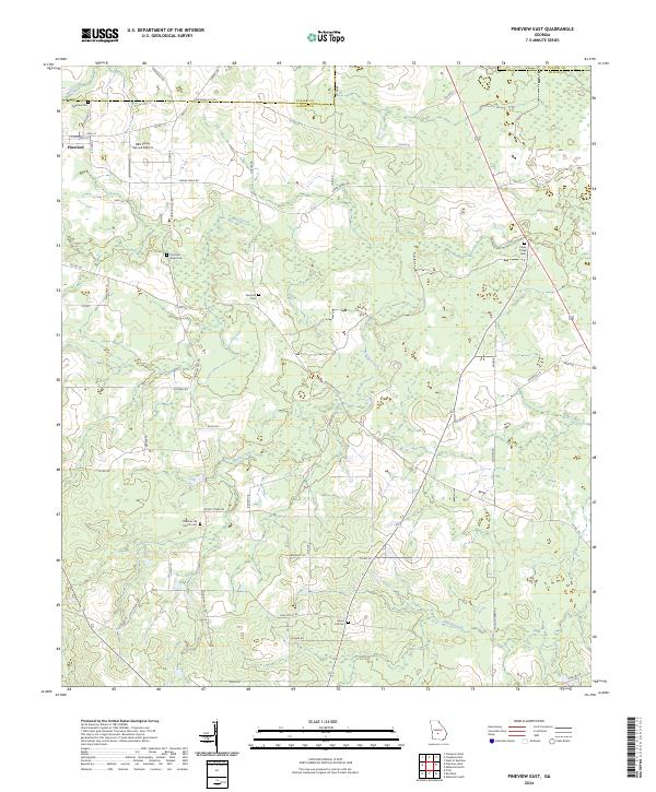
2024 Pineview East
Wilcox County, GA
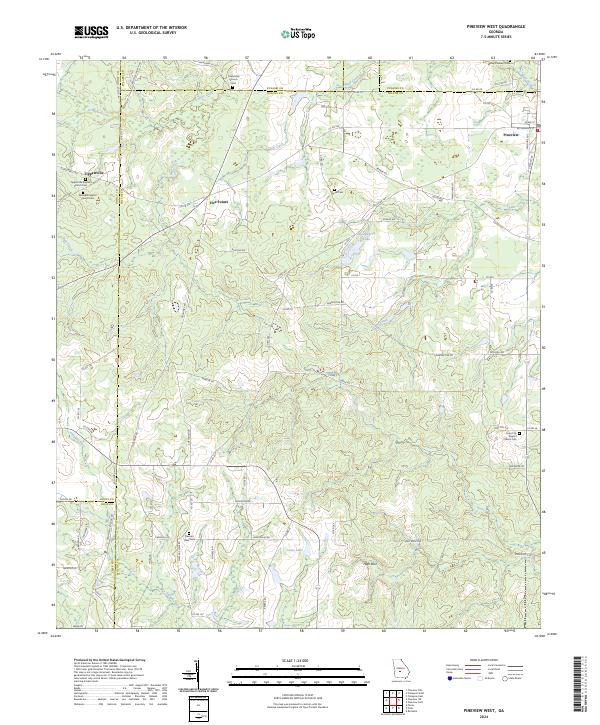
2024 Pineview West
Wilcox County, GA