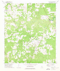
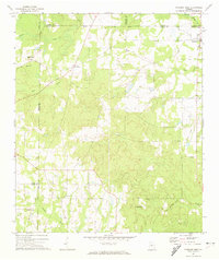
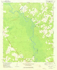
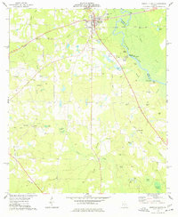
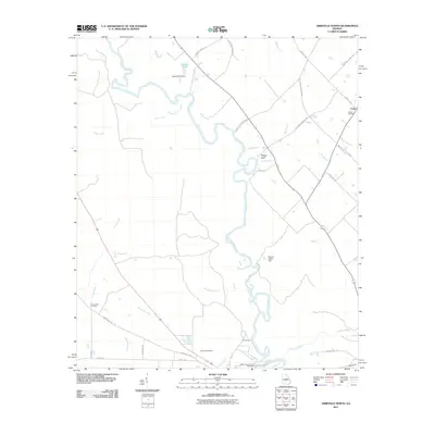
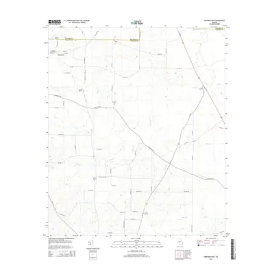
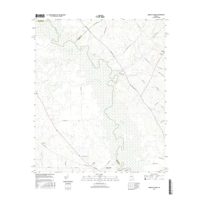
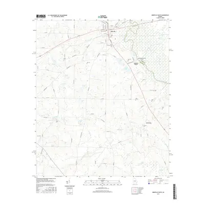
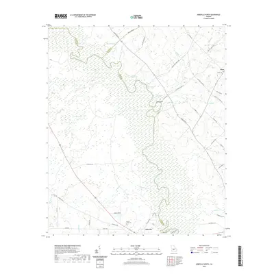
1972 Map of Pineview East
USGS Topo · Published 1975About this map
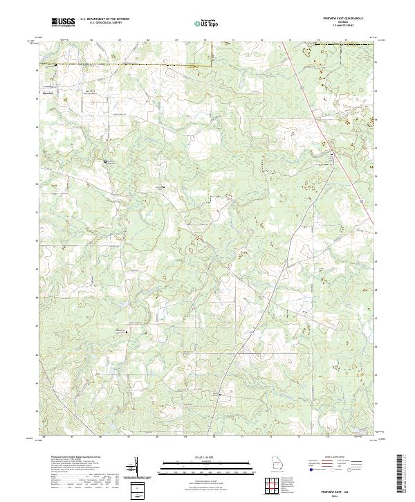
Pineview sits near the northwestern corner of this territory, where the terrain shifts toward a localized Bluff near the boundary of Pulaski Co and Wilcox Co. The landscape is defined by a dense network of country churches and their associated burial grounds, which served as the primary social anchors for this rural community during the early 1970s. These centers of local life, including Christian Hope Ch, New Travelers Home Ch, and Liberty Hill Ch, are scattered across a landscape drained by numerous waterways such as Cedar Creek, Brushy Creek, and Folsom Creek.
Find a feature on this map
22 named features on this map. Tap any name to fly to it.
Don’t see what you’re looking for? This feature index may not catch every label — zoom into the map to look around manually.
Map Details
Editions of this 1972 Pineview East Map
This is the sole edition of this map. No revisions or reprints were ever made.
Historical Maps of Pineview Through Time
24 maps found
1971 Pineview West
Wilcox County, GA
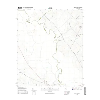
1972 Abbeville North
Wilcox County, GA
1972 Pineview East
Wilcox County, GA
1974 Abbeville South
Wilcox County, GA
2011 Abbeville North
Wilcox County, GA
2011 Abbeville South
Wilcox County, GA
2011 Pineview East
Wilcox County, GA
2011 Pineview West
Wilcox County, GA
2014 Abbeville North
Wilcox County, GA
2014 Abbeville South
Wilcox County, GA
2014 Pineview East
Wilcox County, GA
2014 Pineview West
Wilcox County, GA
2017 Abbeville North
Wilcox County, GA
2017 Abbeville South
Wilcox County, GA
2017 Pineview East
Wilcox County, GA
2017 Pineview West
Wilcox County, GA
2020 Abbeville North
Wilcox County, GA

2020 Abbeville South
Wilcox County, GA
2020 Pineview East
Wilcox County, GA
2020 Pineview West
Wilcox County, GA
2024 Abbeville North
Wilcox County, GA
2024 Abbeville South
Wilcox County, GA
2024 Pineview East
Wilcox County, GA
2024 Pineview West
Wilcox County, GA