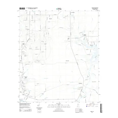
2014 Map of Coden
USGS Topo · Published 2014About this map
Bayou La Batre anchors this coastal survey, revealing a landscape defined by the intricate tidal waterways and bayous of southern Mobile County. Small settlements such as Coden, Delchamps, and Laurendine are connected by a network of local roads that navigate around West Fowl River and Portersville Bay. The map provides significant detail for genealogists, marking several local burial sites including Oddfellows Cem, Catholic Cem, and the English Cem. The transition from the developed waterfront to the inland reaches is marked by small aviation facilities like Dale O. Galer Aerodrome and Roy E. Ray Airport, illustrating the mixture of maritime industry and rural land use in this Gulf Coast region. Further east, the terrain constricts at The Narrows near Mon Louis Island, where the East Foul River and Delehamps Bayou meet the marshy shoreline.
Find a feature on this map
140 named features on this map. Tap any name to fly to it.
Don’t see what you’re looking for? This feature index may not catch every label — zoom into the map to look around manually.
Map Details
Editions of this 2014 Coden Map
This is the sole edition of this map. No revisions or reprints were ever made.
Other maps of this area

1921 · Grand Bay
USGS Topo · 1:62,500

1921 · Delchamps
USGS Topo · 1:62,500

1922 · Mobile
USGS Topo · 1:62,500

1940 · Hollingers Island
USGS Topo · 1:31,680

1940 · Mobile
USGS Topo · 1:62,500

1941 · Cedar Point
USGS Topo · 1:62,500

1941 · Hurley
USGS Topo · 1:62,500

1942 · Theodore
USGS Topo · 1:31,680

1943 · Cedar Point
USGS Topo · 1:62,500

1943 · Theodore
USGS Topo · 1:31,680