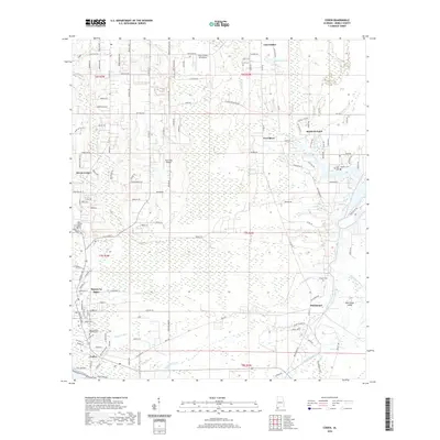
2020 Map of Coden
USGS Topo · Published 2020About this map
Bayou La Batre and the coastal settlement of Coden anchor this maritime and wetland landscape along the Alabama Gulf Coast. The region is defined by an intricate network of tidal waterways including East Fowl River, Bayou Coden, and Bayou Jonas, which weave through expansive wetlands toward The Narrows. This geography reveals the historical reliance on these waters for local commerce and transport, with settlements like Delchamps and Laurendine situated near the marsh edges. For genealogists, the map provides precise locations for several local burial grounds, such as Lundy Cem, the Odd Fellows Cem, and the Saint Michael Catholic Cem. The area's small-scale aviation history is also noted with the Roy E Ray Airport and the Dale O Galer Aerodrome, while the presence of Mon Louis Island to the east highlights the complex shoreline and bayou systems that have shaped Mobile County for generations.
Find a feature on this map
145 named features on this map. Tap any name to fly to it.
Don’t see what you’re looking for? This feature index may not catch every label — zoom into the map to look around manually.
Map Details
Editions of this 2020 Coden Map
This is the sole edition of this map. No revisions or reprints were ever made.
Other maps of this area

1921 · Grand Bay
USGS Topo · 1:62,500

1921 · Delchamps
USGS Topo · 1:62,500

1922 · Mobile
USGS Topo · 1:62,500

1940 · Hollingers Island
USGS Topo · 1:31,680

1940 · Mobile
USGS Topo · 1:62,500

1941 · Cedar Point
USGS Topo · 1:62,500

1941 · Hurley
USGS Topo · 1:62,500

1942 · Theodore
USGS Topo · 1:31,680

1943 · Cedar Point
USGS Topo · 1:62,500

1943 · Theodore
USGS Topo · 1:31,680