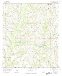
1957 Map of Coffee Springs
USGS Topo · Published 1984About this map
Coffee Springs serves as a central hub in this late 1950s landscape, positioned near the Coffee County and Geneva County line. The map reveals a community deeply rooted in its local institutions, evidenced by the high density of rural churches such as Marvin Chapel, Union Grove Ch, and El Bethel Ch. The terrain is defined by a dense network of tributaries, including Whisky Branch and Beargrass Creek, which drain into larger systems like Beaverdam Creek. The presence of Geneva County Lake provides a significant local water feature, while smaller settlements like Chancellor and Central City anchor the eastern portions of the quadrangle. For genealogists, the inclusion of Moore Cem and Mt Pleasant Sch offers specific points of interest for tracing family ties in this agricultural corridor of southeastern Alabama.
Find a feature on this map
30 named features on this map. Tap any name to fly to it.
Don’t see what you’re looking for? This feature index may not catch every label — zoom into the map to look around manually.
Map Details
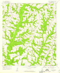
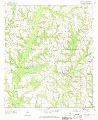
Editions of this 1957 Coffee Springs Map
Other maps of this area

1942 · Enterprise
USGS Topo · 1:125,000

1950 · Enterprise
USGS Topo · 1:62,500

1953 · Andalusia
USGS Topo · 1:250,000

1953 · Dothan
USGS Topo · 1:250,000

1954 · Dothan
USGS Topo · 1:250,000

1955 · Dothan
USGS Topo · 1:250,000

1957 · Andalusia
USGS Topo · 1:250,000

1957 · Geneva
USGS Topo · 1:62,500

1957 · Bellwood
USGS Topo · 1:24,000
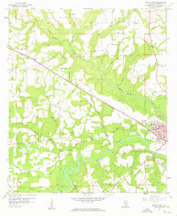
1957 · Geneva West
USGS Topo · 1:24,000