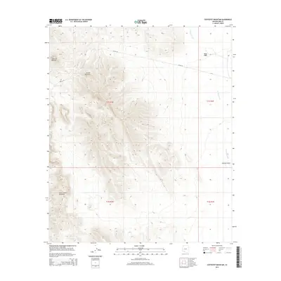
2014 Map of Coffeepot Mountain
USGS Topo · Published 2014About this map
Sauceda Mountains dominate the central topography of this Pima County landscape, where deep desert canyons and ridges transition into the Hickiwan Valley to the east. The isolated settlement of Stoa Pitk sits near the northeastern edge of the survey, connected to the wider region by Bia-13 and the utility corridor of Pipeline Rd. To the west, the distinctive peak of Coffeepot Mountain stands as a primary landmark above the surrounding flats. The ephemeral drainage of Hickiwan Wash cuts through the valley floor, illustrating the water-sculpted geography of this arid environment. In the southern reaches, the foothills of the Sikort Chuapo Mountains begin to rise, marking the boundary of several distinct mountain ranges that converge in this part of the Sonoran Desert.
Find a feature on this map
13 named features on this map. Tap any name to fly to it.
Don’t see what you’re looking for? This feature index may not catch every label — zoom into the map to look around manually.
Map Details
Editions of this 2014 Coffeepot Mountain Map
This is the sole edition of this map. No revisions or reprints were ever made.
Other maps of this area

1953 · Ajo
USGS Topo · 1:250,000

1957 · Ajo
USGS Topo · 1:250,000

1958 · Ajo
USGS Topo · 1:250,000

1958 · Kaka
USGS Topo · 1:62,500

1958 · Hat Mountain
USGS Topo · 1:62,500

1962 · Ajo
USGS Topo · 1:250,000

1963 · Ajo
USGS Topo · 1:250,000

1963 · Sikort Chuapo Mts
USGS Topo · 1:62,500

1963 · Cimarron Peak
USGS Topo · 1:62,500

1967 · Ajo
USGS Topo · 1:250,000