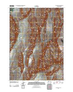
2011 Map of Coffin Butte
USGS Topo · Published 2011About this map
Coffin Butte rises as the central landmark in this high desert landscape of eastern Oregon, located within Harney County. The area is characterized by scattered water sources that were vital for local ranching and transit, including the notable Sulphur Springs and the seasonal waters of Tudor Lake. In the southern reaches of the map, White Sage Flat provides a broad expanse of level terrain, while Stonehouse Canyon cuts into the higher elevations to the northwest. This 2011 survey by the U.S. Geological Survey documents the distribution of local roads and water management features like the North Table Mountain Reservoir, illustrating the sparse but critical infrastructure maintained in this arid region at the start of the 21st century.
Find a feature on this map
6 named features on this map. Tap any name to fly to it.
Don’t see what you’re looking for? This feature index may not catch every label — zoom into the map to look around manually.
Map Details
Editions of this 2011 Coffin Butte Map
This is the sole edition of this map. No revisions or reprints were ever made.
Other maps of this area

1955 · Adel
USGS Topo · 1:250,000

1957 · Adel
USGS Topo · 1:250,000

1958 · Adel
USGS Topo · 1:250,000

1962 · Adel
USGS Topo · 1:250,000
1981 · Mann Lake
USGS Topo · 1:24,000
1981 · Johnny Creek SW
USGS Topo · 1:24,000
1981 · Comegys Lake
USGS Topo · 1:24,000

1981 · Ancient Lake Well
USGS Topo · 1:24,000
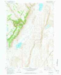
1981 · Juniper Lake
USGS Topo · 1:24,000
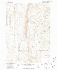
1981 · Johnny Creek NW
USGS Topo · 1:24,000