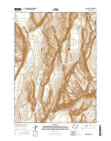
2017 Map of Coffin Butte
USGS Topo · Published 2017About this map
Coffin Butte rises as the central landmark in this high-desert landscape of Harney County, illustrating the isolated water sources and vast topography of the Oregon interior. The map documents vital hydrological features such as Sulphur Springs and the expansive Mickey Basin, which are critical points in an arid environment. Transportation in the area is minimal, centered on the Table Mountain Well Rd, reflecting the remote and sparsely developed character of the region. This portion of the Great Basin is further defined by open stretches like White Sage Flat, where the terrain transitions between low-lying flats and volcanic buttes. For those researching the history of land use or natural springs in the high desert, this survey provides a precise layout of the landscape before modern shifts in water table or access occurred.
Find a feature on this map
9 named features on this map. Tap any name to fly to it.
Don’t see what you’re looking for? This feature index may not catch every label — zoom into the map to look around manually.
Map Details
Editions of this 2017 Coffin Butte Map
This is the sole edition of this map. No revisions or reprints were ever made.
Other maps of this area

1955 · Adel
USGS Topo · 1:250,000

1957 · Adel
USGS Topo · 1:250,000

1958 · Adel
USGS Topo · 1:250,000

1962 · Adel
USGS Topo · 1:250,000
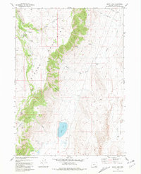
1981 · Mann Lake
USGS Topo · 1:24,000
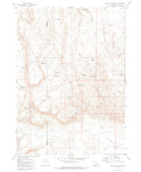
1981 · Johnny Creek SW
USGS Topo · 1:24,000
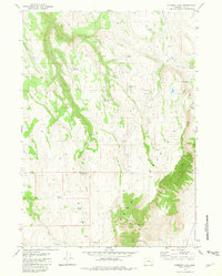
1981 · Comegys Lake
USGS Topo · 1:24,000

1981 · Ancient Lake Well
USGS Topo · 1:24,000
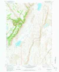
1981 · Juniper Lake
USGS Topo · 1:24,000
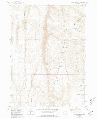
1981 · Johnny Creek NW
USGS Topo · 1:24,000