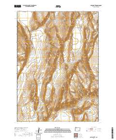
2020 Map of Coffin Butte
USGS Topo · Published 2020About this map
Coffin Butte rises as a prominent landmark in this high-desert region of Harney County, illustrating the isolated geography and essential water sources of eastern Oregon. The terrain is marked by distinctive topographical depressions and plains, including the expansive Mickey Basin and the level reaches of White Sage Flat. Water is a critical and sparse resource here, highlighted by the presence of Sulphur Springs tucked into the hills. Human passage through this open landscape is defined by remote tracks like Table Mountain Well Rd, which connect the various basins and springs across the arid landscape. The survey captures the intricate contour patterns of the basin-and-range topography during a period of modern land management by the U.S. Geological Survey and the Bureau of Land Management.
Find a feature on this map
9 named features on this map. Tap any name to fly to it.
Don’t see what you’re looking for? This feature index may not catch every label — zoom into the map to look around manually.
Map Details
Editions of this 2020 Coffin Butte Map
This is the sole edition of this map. No revisions or reprints were ever made.
Other maps of this area

1955 · Adel
USGS Topo · 1:250,000

1957 · Adel
USGS Topo · 1:250,000

1958 · Adel
USGS Topo · 1:250,000

1962 · Adel
USGS Topo · 1:250,000
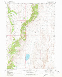
1981 · Mann Lake
USGS Topo · 1:24,000
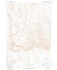
1981 · Johnny Creek SW
USGS Topo · 1:24,000
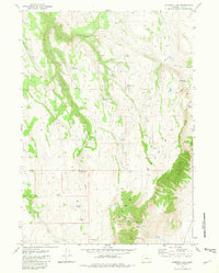
1981 · Comegys Lake
USGS Topo · 1:24,000

1981 · Ancient Lake Well
USGS Topo · 1:24,000
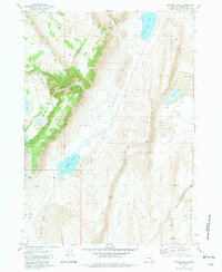
1981 · Juniper Lake
USGS Topo · 1:24,000
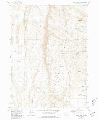
1981 · Johnny Creek NW
USGS Topo · 1:24,000