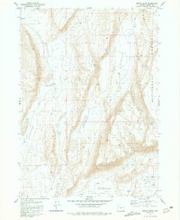
1981 Map of Coffin Butte
USGS Topo · Published 1981About this map
Coffin Butte stands as a prominent landmark in this high desert landscape of Harney County, surveyed during the late 1970s. The terrain is defined by a series of significant geologic depressions and the rising slopes of the Sheepshead Mountains to the east. This area of Oregon reflects a sparse, resource-focused land use pattern where water sources are the primary named features. Vital water points such as Sulphur Springs, Pollock Well, and Flowing Well are scattered across the arid basins, indicating the critical infrastructure required for ranching or survival in this environment. To the south, the transition into Mickey Basin and the level expanse of White Sage Flat showcases the characteristic basin-and-range topography, where flat alkali or sagebrush plains are interrupted by sudden, steep-sided volcanic buttes.
Find a feature on this map
11 named features on this map. Tap any name to fly to it.
Don’t see what you’re looking for? This feature index may not catch every label — zoom into the map to look around manually.
Map Details
Editions of this 1981 Coffin Butte Map
This is the sole edition of this map. No revisions or reprints were ever made.
Other maps of this area

1955 · Adel
USGS Topo · 1:250,000

1957 · Adel
USGS Topo · 1:250,000

1958 · Adel
USGS Topo · 1:250,000

1962 · Adel
USGS Topo · 1:250,000
1981 · Mann Lake
USGS Topo · 1:24,000
1981 · Johnny Creek SW
USGS Topo · 1:24,000
1981 · Comegys Lake
USGS Topo · 1:24,000

1981 · Ancient Lake Well
USGS Topo · 1:24,000
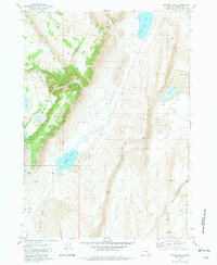
1981 · Juniper Lake
USGS Topo · 1:24,000
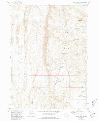
1981 · Johnny Creek NW
USGS Topo · 1:24,000