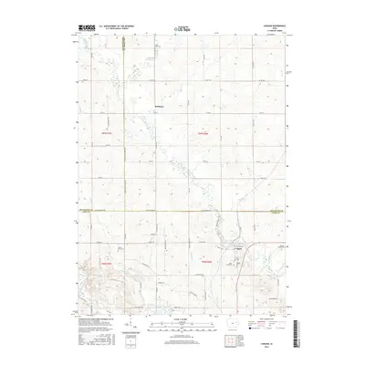
2015 Map of Coggon
USGS Topo · Published 2015About this map
Coggon stands at the intersection of local history and rural geography, where the southern reaches of the Cedar Rapids area meet the agricultural heart of Eastern Iowa. This 2015 survey illustrates a landscape shaped by its waterways, most notably the Buffalo Creek which winds through the central portion of the quadrangle before approaching the Wapsipinicon River in the south. The settlement patterns follow both the river valleys and the rigid section lines of the PLSS grid, with the small community of Robinson anchoring the northern half of the map.
Find a feature on this map
40 named features on this map. Tap any name to fly to it.
Don’t see what you’re looking for? This feature index may not catch every label — zoom into the map to look around manually.
Map Details
Editions of this 2015 Coggon Map
This is the sole edition of this map. No revisions or reprints were ever made.
Other maps of this area

1888 · Marion
USGS Topo · 1:62,500

1889 · Marion
USGS Topo · 1:62,500

1890 · Anamosa
USGS Topo · 1:62,500

1900 · Anamosa
USGS Topo · 1:125,000

1903 · Winthrop
USGS Topo · 1:125,000

1959 · Dubuque
USGS Topo · 1:250,000

1961 · Dubuque
USGS Topo · 1:250,000

1962 · Dubuque
USGS Topo · 1:250,000
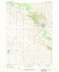
1968 · Central City
USGS Topo · 1:24,000
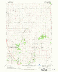
1968 · Lafayette
USGS Topo · 1:24,000