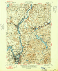
1949 Map of Cohoes
USGS Topo · Published 1949About this map
Saratoga National Historical Park anchors the northern reaches of this mid-century survey, marking the ground where the Battle of Saratoga turned the tide of the American Revolution. The landscape is defined by the confluence of the Hudson River, Mohawk River, and Hoosic River, a hydraulic network that powered the industrial growth of Cohoes and Troy. The transition from early nineteenth-century transport to modern infrastructure is visible in the paths of the Champlain Canal and its predecessor, the Old Champlain Canal, which weave alongside the Boston and Maine RR. In the eastern hills, the massive Tomhannock Reservoir dominates Pittstown, while numerous numbered school districts, such as School No 12, and rural settlements like Speigletown and Bemis Heights offer specific data points for genealogists researching family land and local community structures in the late 1940s.
Find a feature on this map
86 named features on this map. Tap any name to fly to it.
Don’t see what you’re looking for? This feature index may not catch every label — zoom into the map to look around manually.
Map Details
Editions of this 1949 Cohoes Map
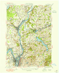
2 editions found
Other maps of this area

1888 · Berlin
USGS Topo · 1:62,500

1890 · Berlin
USGS Topo · 1:62,500

1893 · Cohoes
USGS Topo · 1:62,500

1893 · Troy
USGS Topo · 1:62,500

1893 · Schenectady
USGS Topo · 1:62,500

1893 · Albany
USGS Topo · 1:62,500

1894 · Berlin
USGS Topo · 1:62,500

1895 · Troy
USGS Topo · 1:62,500

1895 · Cohoes
USGS Topo · 1:62,500

1895 · Albany
USGS Topo · 1:62,500