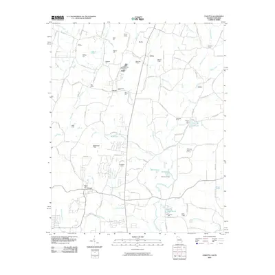
2010 Map of Cohutta
USGS Topo · Published 2010About this map
Cohutta and Varnell anchor this portion of Whitfield County near the Tennessee border, where the land is defined by a dense network of ridges and watercourses. Significant landmarks include the Cohutta National Fish Hatchery and the Red Clay Council Grounds, a site of profound historical importance to the Cherokee Nation. The terrain is marked by prominent high points like Big Hill, Signal Hill, and Gobblers Knob, while the valley floors are threaded by Coahulla Creek and its many tributaries, including Kenyon Creek and Mills Creek.
Find a feature on this map
117 named features on this map. Tap any name to fly to it.
Don’t see what you’re looking for? This feature index may not catch every label — zoom into the map to look around manually.
Map Details
Editions of this 2010 Cohutta Map
This is the sole edition of this map. No revisions or reprints were ever made.
Other maps of this area

1886 · Dalton
USGS Topo · 1:125,000

1886 · Cleveland
USGS Topo · 1:125,000

1886 · Ringgold
USGS Topo · 1:125,000

1888 · Chattanooga
USGS Topo · 1:125,000

1892 · Ringgold
USGS Topo · 1:125,000

1892 · Cleveland
USGS Topo · 1:125,000

1892 · Dalton
USGS Topo · 1:125,000

1893 · Chattanooga
USGS Topo · 1:125,000

1895 · Cleveland
USGS Topo · 1:125,000

1897 · Dalton
USGS Topo · 1:125,000