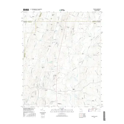
2017 Map of Cohutta
USGS Topo · Published 2017About this map
The Tennessee Valley Divide and the state line between Georgia and Tennessee define this landscape north of Dalton. The agricultural and industrial history of Whitfield County is centered around Varnell and Cohutta, where the Norfolk Southern line runs parallel to traditional valley travel routes. A notable cultural landmark is Prater Mill, situated along the banks of Coahulla Cr, representing the area's milling heritage. The terrain is marked by prominent ridges such as Red Clay Ridge and Stockburger Ridge, which channel local waters into numerous springs, including Varnell Spring and Council Spring. Genealogists will find several burial grounds mapped, including Concord Cem and Hoskins Cem, alongside established rural congregations like McGaughey Chapel.
Find a feature on this map
169 named features on this map. Tap any name to fly to it.
Don’t see what you’re looking for? This feature index may not catch every label — zoom into the map to look around manually.
Map Details
Editions of this 2017 Cohutta Map
This is the sole edition of this map. No revisions or reprints were ever made.
Other maps of this area

1886 · Dalton
USGS Topo · 1:125,000

1886 · Cleveland
USGS Topo · 1:125,000

1886 · Ringgold
USGS Topo · 1:125,000

1888 · Chattanooga
USGS Topo · 1:125,000

1892 · Ringgold
USGS Topo · 1:125,000

1892 · Cleveland
USGS Topo · 1:125,000

1892 · Dalton
USGS Topo · 1:125,000

1893 · Chattanooga
USGS Topo · 1:125,000

1895 · Cleveland
USGS Topo · 1:125,000

1897 · Dalton
USGS Topo · 1:125,000