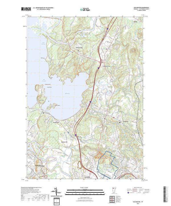
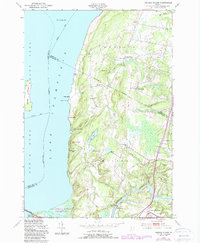
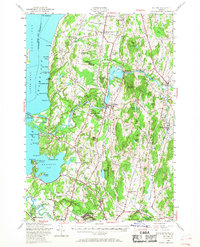
2024 Map of Colchester
USGS Topo · Published 2024About this map
Malletts Bay defines the central coastline of this Chittenden County landscape, where the waters of Lake Champlain meet a complex network of points and islands including Coates Island and Malletts Head. The interior is characterized by the convergence of the Lamoille River to the north and the Winooski River to the south, framing a region of shifting elevations from Munson Flat to the prominent peak of Cobble Hill. This modern survey illustrates the proximity of established residential clusters like Colchester and Winooski to significant military and utility footprints, such as the NG Ethan Allen AFB MTA.
Find a feature on this map
160 named features on this map. Tap any name to fly to it.
Don’t see what you’re looking for? This feature index may not catch every label — zoom into the map to look around manually.
Map Details
Editions of this 2024 Colchester Map
This is the sole edition of this map. No revisions or reprints were ever made.
Historical Maps of Malletts Bay Through Time
26 maps found

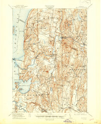
1913 Milton
Chittenden County, VT
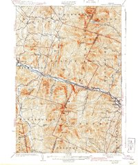
1915 Milton
Chittenden County, VT

1921 Richmond
Chittenden County, VT
1924 Camels Hump
Chittenden County, VT

1944 Camels Hump
Chittenden County, VT

1944 Milton
Chittenden County, VT
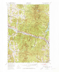
1948 Bolton Mountain
Chittenden County, VT
1948 Camels Hump
Chittenden County, VT

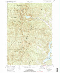
1948 Colchester
Chittenden County, VT
1948 Essex Center
Chittenden County, VT
1948 Georgia Plains
Chittenden County, VT
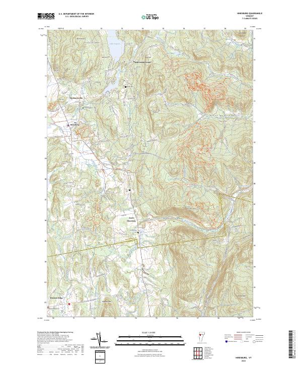
1948 Hinesburg
Chittenden County, VT
1948 Milton
Chittenden County, VT
1948 Mount Philo
Chittenden County, VT
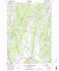
1948 Richmond
Chittenden County, VT
1948 Underhill
Chittenden County, VT
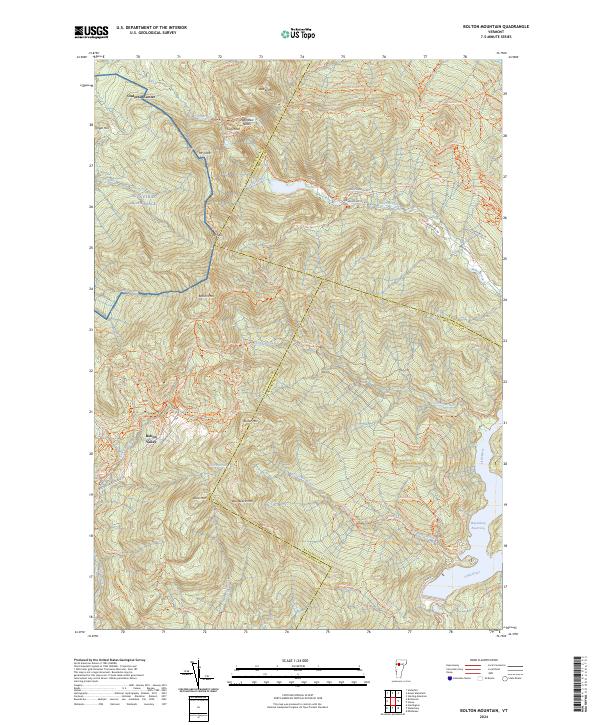
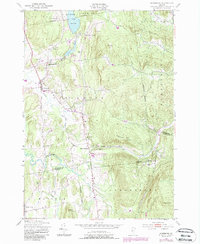
2024 Bolton Mountain
Chittenden County, VT
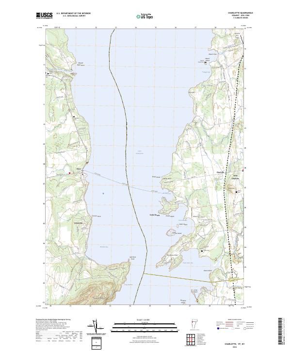
2024 Charlotte
Chittenden County, VT
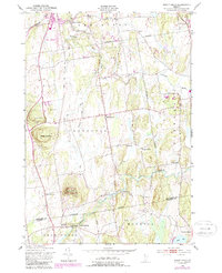
2024 Colchester
Chittenden County, VT
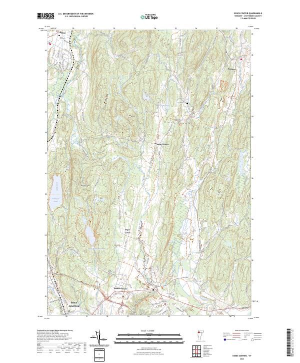
2024 Essex Center
Chittenden County, VT
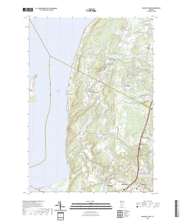
2024 Georgia Plains
Chittenden County, VT
2024 Hinesburg
Chittenden County, VT
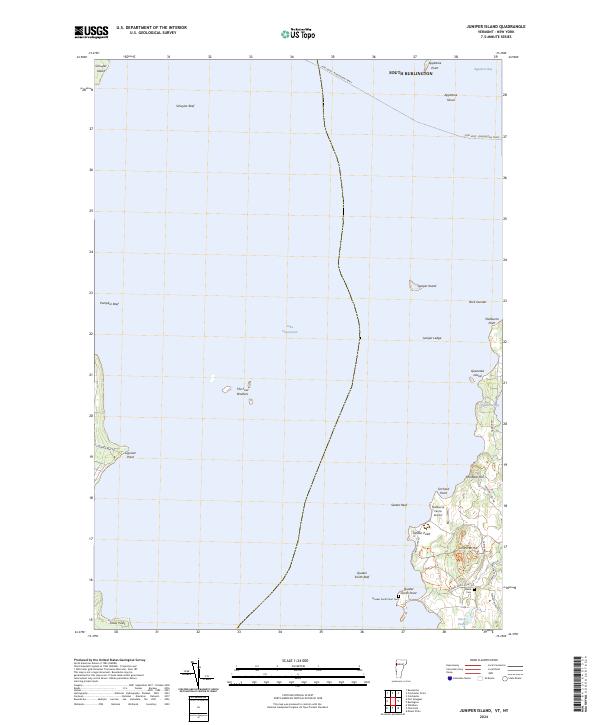
2024 Juniper Island
Chittenden County, VT
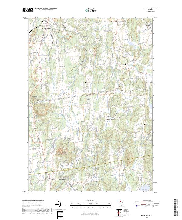
2024 Mount Philo
Chittenden County, VT
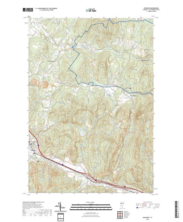
2024 Richmond
Chittenden County, VT
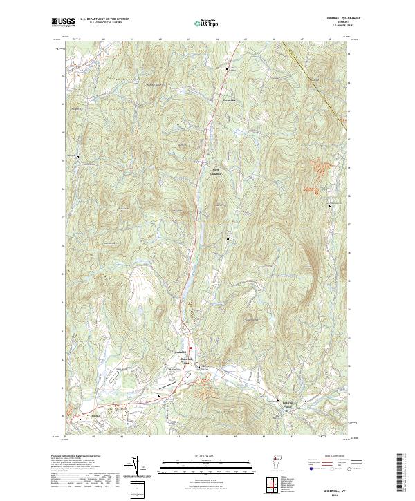
2024 Underhill
Chittenden County, VT