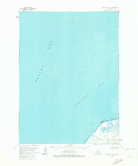
1963 Map of Cold Bay D-1
USGS Topo · Published 1972About this map
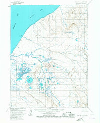
Cape Lieskof anchors the southeastern corner of this maritime-focused chart, where the waters of the Bering Sea meet Bristol Bay. The geography is defined by a vast expanse of open water, with detailed hydrographic data compiled from a 1965 chart. The shoreline near the cape is characterized by an extensive Tidal Flat and numerous small coastal ponds, illustrating the transition between the Alaskan mainland and the sea. This 1960s survey provides a window into the unpopulated and unsurveyed coastal reaches of the Seward Meridian, where land lines were predetermined by the Bureau of Land Management rather than established through physical markings on the ground.
Find a feature on this map
4 named features on this map. Tap any name to fly to it.
Don’t see what you’re looking for? This feature index may not catch every label — zoom into the map to look around manually.
Map Details
Editions of this 1963 Cold Bay D-1 Map
2 editions found
Other maps of this area

1943 · Fort Randall
USGS Topo · 1:250,000

1949 · Fort Randall
USGS Topo · 1:250,000

1950 · Fort Randall
USGS Topo · 1:250,000

1953 · Port Moller
USGS Topo · 1:250,000

1963 · Port Moller C-6
USGS Topo · 1:63,360
1963 · Cold Bay C-2
USGS Topo · 1:63,360
1963 · Port Moller D-6
USGS Topo · 1:63,360
1963 · Cold Bay D-1
USGS Topo · 1:63,360
1963 · Cold Bay C-1
USGS Topo · 1:63,360

1988 · Port Moller
USGS Topo · 1:250,000