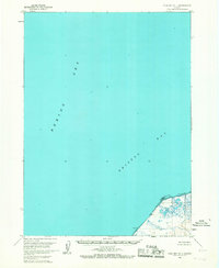
1963 Map of Cold Bay D-1
USGS Topo · Published 1967About this map
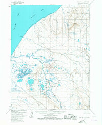
Cape Lieskof anchors the southeastern corner of this maritime study, where the waters of the Bering Sea meet Bristol Bay. Based on aerial photography from the late 1950s and field annotated in 1963, the map depicts a largely unpopulated coastal stretch defined by complex hydrography and shifting shorelines. The landmass is characterized by an extensive Tidal Flat and numerous small, unnamed water bodies scattered across the low-lying terrain. A primary landmark, Case, stands near the shoreline, marking a point of interest on an otherwise uninhabited coastline. The survey highlights the transition from deep marine environments to the shallow, marshy edges of the Alaskan peninsula, providing a specialized look at the coastal geography before modern navigation systems replaced these detailed topographic and hydrographic charts.
Find a feature on this map
5 named features on this map. Tap any name to fly to it.
Don’t see what you’re looking for? This feature index may not catch every label — zoom into the map to look around manually.
Map Details
Editions of this 1963 Cold Bay D-1 Map
2 editions found
Other maps of this area

1943 · Fort Randall
USGS Topo · 1:250,000

1949 · Fort Randall
USGS Topo · 1:250,000

1950 · Fort Randall
USGS Topo · 1:250,000

1953 · Port Moller
USGS Topo · 1:250,000

1963 · Port Moller C-6
USGS Topo · 1:63,360
1963 · Cold Bay C-2
USGS Topo · 1:63,360
1963 · Port Moller D-6
USGS Topo · 1:63,360
1963 · Cold Bay C-1
USGS Topo · 1:63,360

1988 · Port Moller
USGS Topo · 1:250,000
2020 · Cold Bay D-1 SE
USGS Topo · 1:25,000