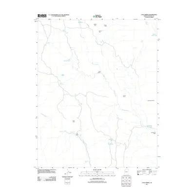
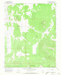
2011 Map of Cold Spring
USGS Topo · Published 2011About this map
Whitmore Wash and Parashant Wash define the drainage patterns across this high desert landscape in Mohave County. The terrain is marked by prominent overlooks such as Kinney Point and Cold Spring Point, which provide vantage points over the complex network of canyons including Trail Canyon and Road Canyon. Water management in this arid environment is evidenced by a series of named tanks and ponds, such as Sand Flat Tank, Rock Basin Tank, and Sinkhole Pond, which supported local ranching and land use. The presence of Death Valley Lake and its associated Death Valley Spring in the northeast corner highlights the critical, scattered water sources of the region. This 2011 survey illustrates a sparsely populated reach of Arizona where the high plateau is broken by significant topographical features like Brown Knoll and Griffith Knoll.
Find a feature on this map
33 named features on this map. Tap any name to fly to it.
Don’t see what you’re looking for? This feature index may not catch every label — zoom into the map to look around manually.
Map Details
Editions of this 2011 Cold Spring Map
This is the sole edition of this map. No revisions or reprints were ever made.
Other maps of this area

1886 · Mt. Trumbull
USGS Topo · 1:250,000

1892 · Mt. Trumbull
USGS Topo · 1:250,000

1953 · Grand Canyon
USGS Topo · 1:250,000

1957 · Grand Canyon
USGS Topo · 1:250,000

1958 · Grand Canyon
USGS Topo · 1:250,000

1960 · Grand Canyon
USGS Topo · 1:250,000
1967 · Yellow John Mtn.
USGS Topo · 1:24,000
1967 · Whitmore Rapids
USGS Topo · 1:24,000
1967 · Whitmore Point
USGS Topo · 1:24,000
1967 · Mt. Trumbull NW
USGS Topo · 1:24,000