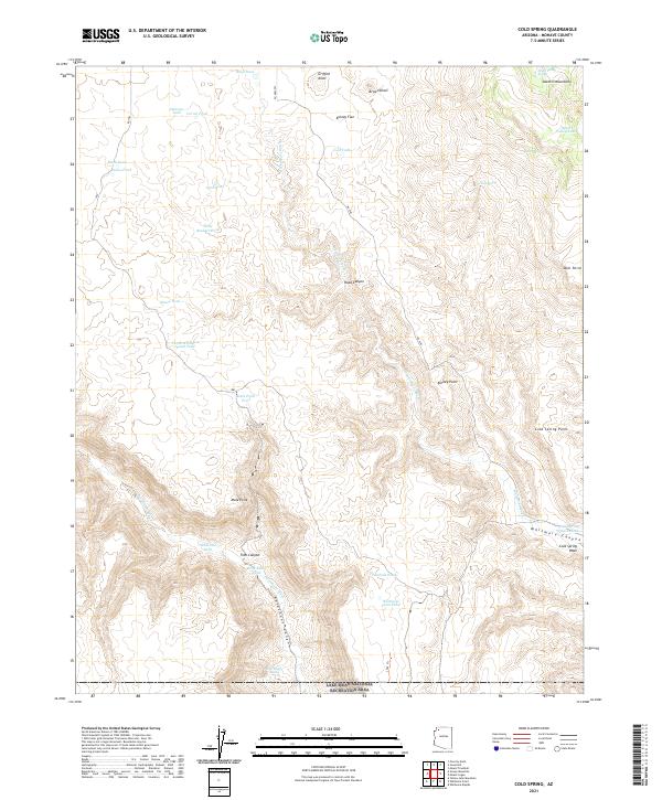
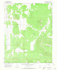
2021 Map of Cold Spring
USGS Topo · Published 2021About this map
Lake Mead National Recreation Area defines the southern portion of this high-desert landscape in Mohave County, where the terrain transitions into the depths of Parashant Canyon. The area is characterized by a network of seasonal drainages and livestock-watering infrastructure, with features like Red Bluff Tank, Rock Basin Tank, and Sand Flat Tank providing critical water sources across the arid basins. To the northeast, the Sawmill Mountains rise above Death Valley, a name shared by a local spring and the ephemeral Death Valley Lake. Distinctive promontories such as Kinney Point and Cold Spring Point overlook the winding course of Whitmore Wash. This map documents a remote part of the Arizona Strip, highlighting the historical reliance on named tanks and springs for land use in a region dominated by dramatic vertical relief and deep canyons like Road Canyon and Trail Canyon.
Find a feature on this map
45 named features on this map. Tap any name to fly to it.
Don’t see what you’re looking for? This feature index may not catch every label — zoom into the map to look around manually.
Map Details
Editions of this 2021 Cold Spring Map
This is the sole edition of this map. No revisions or reprints were ever made.
Other maps of this area

1886 · Mt. Trumbull
USGS Topo · 1:250,000

1892 · Mt. Trumbull
USGS Topo · 1:250,000

1953 · Grand Canyon
USGS Topo · 1:250,000

1957 · Grand Canyon
USGS Topo · 1:250,000

1958 · Grand Canyon
USGS Topo · 1:250,000

1960 · Grand Canyon
USGS Topo · 1:250,000
1967 · Yellow John Mtn.
USGS Topo · 1:24,000
1967 · Whitmore Rapids
USGS Topo · 1:24,000
1967 · Whitmore Point
USGS Topo · 1:24,000
1967 · Mt. Trumbull NW
USGS Topo · 1:24,000