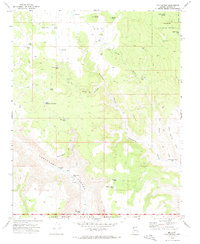
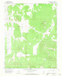
1971 Map of Cold Spring
USGS Topo · Published 1974About this map
Kaibab National Forest and the Lake Mead National Recreation Area meet in this 1970s survey of Arizona's high plateau country. The landscape is defined by the massive drainage systems of Parashant Canyon and Whitmore Canyon, where seasonal water sources are the primary landmarks. Cattle ranching and backcountry transit are evident through features like the Landing Strip on Kinney Flat and numerous remote watering points such as Duncan Tank and Rock Basin Tank.
Find a feature on this map
38 named features on this map. Tap any name to fly to it.
Don’t see what you’re looking for? This feature index may not catch every label — zoom into the map to look around manually.
Map Details
Editions of this 1971 Cold Spring Map
This is the sole edition of this map. No revisions or reprints were ever made.
Other maps of this area

1886 · Mt. Trumbull
USGS Topo · 1:250,000

1892 · Mt. Trumbull
USGS Topo · 1:250,000

1953 · Grand Canyon
USGS Topo · 1:250,000

1957 · Grand Canyon
USGS Topo · 1:250,000

1958 · Grand Canyon
USGS Topo · 1:250,000

1960 · Grand Canyon
USGS Topo · 1:250,000
1967 · Yellow John Mtn.
USGS Topo · 1:24,000
1967 · Whitmore Rapids
USGS Topo · 1:24,000
1967 · Whitmore Point
USGS Topo · 1:24,000
1967 · Mt. Trumbull NW
USGS Topo · 1:24,000