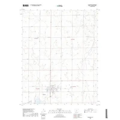
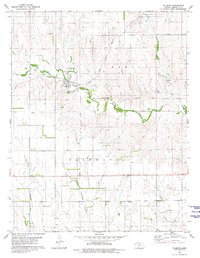
2018 Map of Coldwater
USGS Topo · Published 2018About this map
Coldwater serves as the central hub of this prairie landscape, organized around a traditional grid of streets including S Washington Ave and E Main St. The settlement is bordered to the south by the waters of Lake Coldwater, a significant recreational or water-management feature accessed by Prairie Pkwy. North of the town center, the Crown Hill Cem offers a point of interest for genealogical researchers looking into the early inhabitants of Comanche County. The surrounding terrain is defined by the drainage patterns of Cavalry Cr and the W Br Nescatunga Cr, which carve subtle topography through the agricultural sections. The map preserves the exact layout of the town's residential and commercial core as it stood in the late 2010s, including thoroughfares such as Metropolis Ave and S Baltimore Ave.
Find a feature on this map
41 named features on this map. Tap any name to fly to it.
Don’t see what you’re looking for? This feature index may not catch every label — zoom into the map to look around manually.
Map Details
Editions of this 2018 Coldwater Map
This is the sole edition of this map. No revisions or reprints were ever made.
Other maps of this area

1892 · Coldwater
USGS Topo · 1:125,000

1955 · Pratt
USGS Topo · 1:250,000

1959 · Pratt
USGS Topo · 1:250,000

1979 · Coldwater
USGS Topo · 1:24,000

1979 · East Kiowa Creek South
USGS Topo · 1:24,000
1979 · East Kiowa Creek North
USGS Topo · 1:24,000

1979 · Protection NE
USGS Topo · 1:24,000
1980 · Nescatunga Creek North
USGS Topo · 1:24,000
1980 · Protection
USGS Topo · 1:24,000
1980 · Wilmore
USGS Topo · 1:24,000