
1979 Map of East Kiowa Creek South
USGS Topo · Published 1980About this map
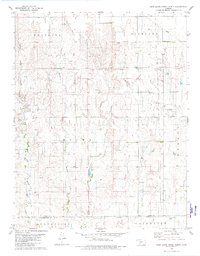
Middle Kiowa Creek and East Kiowa Creek converge in this section of Comanche County, defining a landscape of drainage patterns and intermittent water sources. The map captures the boundary area between the Protection and Coldwater townships, showing a rural environment dominated by agricultural field lines and section roads. A network of pipelines traverses the terrain, reflecting the mid-1970s infrastructure that integrated this prairie region into larger energy grids. Beyond the primary watercourses, smaller tributaries like Wiggins Cr and Buzzard Creek provide detail for land ownership research and topographic study. The presence of several scattered wells and a Radio Tower indicate the practical, utilitarian development of the plains during this era.
Find a feature on this map
8 named features on this map. Tap any name to fly to it.
Don’t see what you’re looking for? This feature index may not catch every label — zoom into the map to look around manually.
Map Details
Editions of this 1979 East Kiowa Creek South Map
This is the sole edition of this map. No revisions or reprints were ever made.
Other maps of this area

1892 · Coldwater
USGS Topo · 1:125,000

1894 · Sitka
USGS Topo · 1:62,500

1896 · Ashland
USGS Topo · 1:125,000

1955 · Pratt
USGS Topo · 1:250,000

1959 · Pratt
USGS Topo · 1:250,000

1979 · Sugarloaf
USGS Topo · 1:24,000

1979 · Turkey Creek
USGS Topo · 1:24,000

1979 · Coldwater
USGS Topo · 1:24,000
1979 · East Kiowa Creek North
USGS Topo · 1:24,000
1979 · Lexington
USGS Topo · 1:24,000