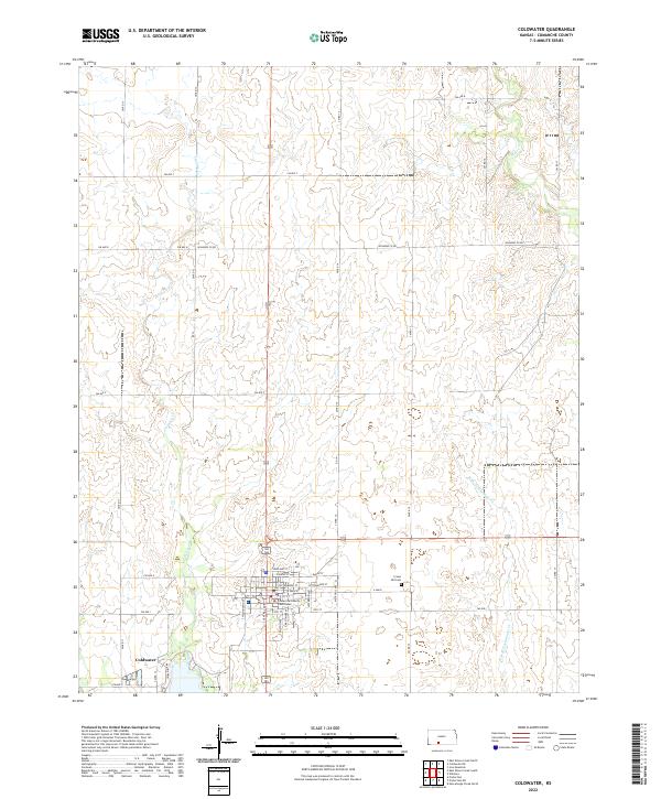
2022 Map of Coldwater
USGS Topo · Published 2022About this map
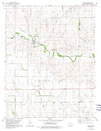
Coldwater serves as the focal point of this Comanche County landscape, organized around the Comanche County Courthouse and a rigid grid of streets including S Central Avenue and East Main Street. The settlement is situated at a critical drainage junction where Cavalry Creek and other local waterways transition into the broader prairie. Outside the town limits, the terrain is defined by the winding paths of West Branch Nescatunga Creek and Mule Creek, which contrast with the geometric precision of the county road system. To the east of the town center, Crown Hill Cemetery stands as a significant local landmark for genealogical research. The map illustrates a classic High Plains settlement pattern where the centralized civic architecture of the courthouse square dictates the surrounding rural development and transportation network.
Find a feature on this map
42 named features on this map. Tap any name to fly to it.
Don’t see what you’re looking for? This feature index may not catch every label — zoom into the map to look around manually.
Map Details
Editions of this 2022 Coldwater Map
This is the sole edition of this map. No revisions or reprints were ever made.
Other maps of this area

1892 · Coldwater
USGS Topo · 1:125,000

1955 · Pratt
USGS Topo · 1:250,000

1959 · Pratt
USGS Topo · 1:250,000

1979 · Coldwater
USGS Topo · 1:24,000

1979 · East Kiowa Creek South
USGS Topo · 1:24,000
1979 · East Kiowa Creek North
USGS Topo · 1:24,000

1979 · Protection NE
USGS Topo · 1:24,000
1980 · Nescatunga Creek North
USGS Topo · 1:24,000
1980 · Protection
USGS Topo · 1:24,000
1980 · Wilmore
USGS Topo · 1:24,000