2023 Map of Coldwater
USGS Topo · Published 2023About this map
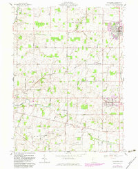
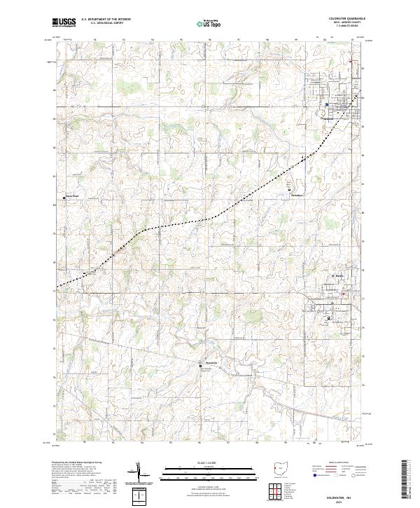
St. Henry and Coldwater anchor this Mercer County landscape, where the agricultural grid is interspersed with traditional Catholic settlements and burial grounds. The map reveals a high concentration of religious sites serving the local community, including the Saint Henry Catholic Cem, Saint Wendelin Catholic Cem, and Saint Joseph Catholic Cem. These features, along with the smaller hamlets of Wendelin, Philothea, and Saint Peter, reflect the deep-rooted parish history of this region. The Wabash River meanders across the southern portion of the sheet, joined by a network of drainage ways like Little Beaver Creek and Toti Creek. The regularity of roads such as Township Line Rd and Erastus Durbin Rd underscores the organized land division typical of Western Ohio, supporting a landscape defined by century farms and small rural centers.
Find a feature on this map
79 named features on this map. Tap any name to fly to it.
Don’t see what you’re looking for? This feature index may not catch every label — zoom into the map to look around manually.
Map Details
Editions of this 2023 Coldwater Map
This is the sole edition of this map. No revisions or reprints were ever made.