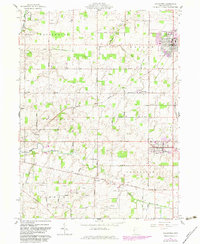
1961 Map of Coldwater
USGS Topo · Published 1983About this map
The Wabash River and its headwaters define the drainage of this western Ohio landscape, where the 1960s economy relied heavily on agriculture and petroleum extraction. Small rural hamlets such as Philothea, St Peter, St Joseph, and Wendelin are scattered throughout the townships of Washington, Butler, Recovery, and Granville. The industrial and residential center of Coldwater features Memorial Park and a dense concentration of oil wells and gas wells, highlighting the region's resource-driven character.
Find a feature on this map
41 named features on this map. Tap any name to fly to it.
Don’t see what you’re looking for? This feature index may not catch every label — zoom into the map to look around manually.
Map Details
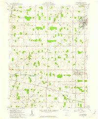
Editions of this 1961 Coldwater Map
2 editions found
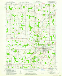
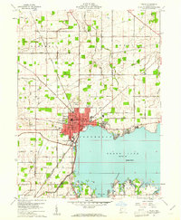
Other maps of this area

1908 · St. Henry
USGS Topo · 1:62,500

1911 · Berne
USGS Topo · 1:48,000

1914 · Celina
USGS Topo · 1:62,500

1915 · Fort Recovery
USGS Topo · 1:48,000

1918 · Fort Recovery
USGS Topo · 1:62,500

1944 · Celina
USGS Topo · 1:62,500

1953 · Muncie
USGS Topo · 1:250,000

1956 · Muncie
USGS Topo · 1:250,000
1960 · Fort Recovery
USGS Topo · 1:24,000
1960 · Celina
USGS Topo · 1:24,000