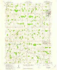
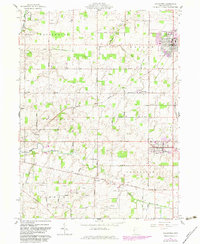
1961 Map of Coldwater
USGS Topo · Published 1963About this map
Mercer County's rural agricultural landscape is bisected by the historic Greenville Treaty Line, a demarcation that separates the Congress Lands to the north from the Miami River Survey to the south. This boundary is followed closely by Treaty Line Road, which cuts through the southern half of the quadrangle near Wendelin. The village of Coldwater serves as a primary hub in the northeast, characterized by its grid of streets, New York Central Railroad tracks, and Memorial Park.
Find a feature on this map
51 named features on this map. Tap any name to fly to it.
Don’t see what you’re looking for? This feature index may not catch every label — zoom into the map to look around manually.
Map Details
Editions of this 1961 Coldwater Map
2 editions found
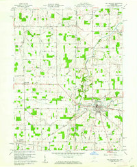
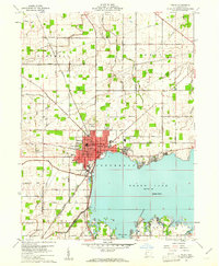
Other maps of this area

1908 · St. Henry
USGS Topo · 1:62,500

1911 · Berne
USGS Topo · 1:48,000

1914 · Celina
USGS Topo · 1:62,500

1915 · Fort Recovery
USGS Topo · 1:48,000

1918 · Fort Recovery
USGS Topo · 1:62,500

1944 · Celina
USGS Topo · 1:62,500

1953 · Muncie
USGS Topo · 1:250,000

1956 · Muncie
USGS Topo · 1:250,000
1960 · Fort Recovery
USGS Topo · 1:24,000
1960 · Celina
USGS Topo · 1:24,000