2024 Map of Coldwater
USGS Topo · Published 2024About this map
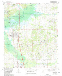
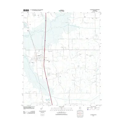
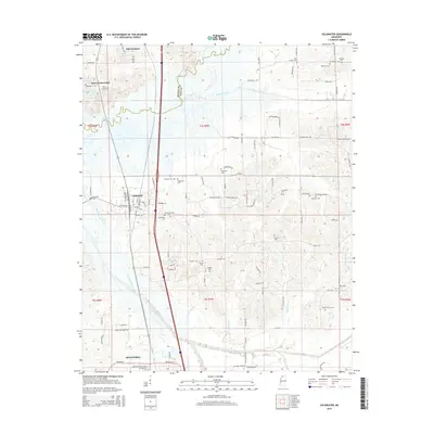
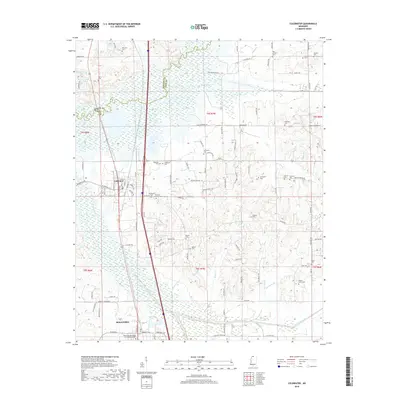
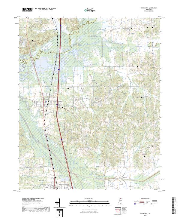
Coldwater and the northern reaches of Senatobia define this landscape in Tate County, where the topography is shaped by the winding Coldwater River and several significant tributaries like Hickahala Creek and Beartail Creek. The map reveals a dense network of family and community landmarks, including over a dozen burial grounds such as Old Love Cem, Pritchard Cem, and Magnolia Cem. Educational and spiritual centers are prominent, notably the Northwest Mississippi Community College campus and the New Garden Missionary Baptist Church.
Find a feature on this map
109 named features on this map. Tap any name to fly to it.
Don’t see what you’re looking for? This feature index may not catch every label — zoom into the map to look around manually.
Map Details
Editions of this 2024 Coldwater Map
This is the sole edition of this map. No revisions or reprints were ever made.
Historical Maps of Senatobia Through Time
6 maps found