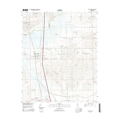
2015 Map of Coldwater
USGS Topo · Published 2015About this map
Coldwater and the northern reaches of Senatobia serve as the primary hubs in this section of the Mississippi Delta foothills. The landscape is defined by the Coldwater River and its intricate drainage network, including Hickahala Creek and Beartail Creek. A significant concentration of burial sites provides a detailed guide for genealogists, with numerous family and community landmarks such as Old Love Cemetery, Edwards Chapel Methodist Cemetery, and New Garden Cemetery scattered across the rural townships. The southern portion of the map is anchored by the Northwest Mississippi Community College campus. To the north, residential developments like Wilco Estates and Buena Vista Lakes sit near localized water bodies such as Lake Wilco and Rain Cloud Lake, illustrating the post-war transition from strictly agricultural use to suburban expansion along the interstate corridor.
Find a feature on this map
114 named features on this map. Tap any name to fly to it.
Don’t see what you’re looking for? This feature index may not catch every label — zoom into the map to look around manually.
Map Details
Editions of this 2015 Coldwater Map
This is the sole edition of this map. No revisions or reprints were ever made.
Other maps of this area

1932 · Horn Lake
USGS Topo · 1:48,000

1932 · Crenshaw
USGS Topo · 1:62,500

1935 · Crenshaw
USGS Topo · 1:62,500

1935 · Horn Lake
USGS Topo · 1:62,500

1944 · Senatobia
USGS Topo · 1:62,500

1944 · Hernando
USGS Topo · 1:62,500

1948 · Helena
USGS Topo · 1:250,000

1950 · Helena
USGS Topo · 1:250,000

1955 · Helena
USGS Topo · 1:250,000

1956 · Tupelo
USGS Topo · 1:250,000