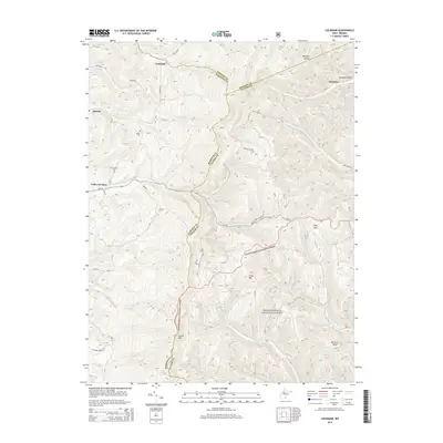
2014 Map of Colebank
USGS Topo · Published 2014About this map
Colebank and the surrounding high country of the Allegheny Mountains are documented here where the borders of Preston, Barbour, and Tucker Counties converge. This 2014 survey illustrates a landscape dominated by the Monongahela National Forest, showcasing a complex network of ridges and watercourses including Laurel Mtn, Texas Mtn, and the winding Brushy Fork. Local heritage is anchored by small settlements and rural landmarks like Valley Furnace, Kasson, and the Shiloh Cem. The mapping of these upland areas reveals how transportation has adapted to the terrain, with roads like WV-38 and Colebank Rd threading through the hollows and over the gaps. The geography is defined by its drainage patterns, from the Left Fork Clover Run in the south to Licking Cr in the north, providing a clear record of the region's topographical character.
Find a feature on this map
65 named features on this map. Tap any name to fly to it.
Don’t see what you’re looking for? This feature index may not catch every label — zoom into the map to look around manually.
Map Details
Editions of this 2014 Colebank Map
This is the sole edition of this map. No revisions or reprints were ever made.
Other maps of this area

1886 · St. George
USGS Topo · 1:125,000

1891 · St. George
USGS Topo · 1:125,000

1907 · Thornton
USGS Topo · 1:62,500

1907 · Kingwood
USGS Topo · 1:62,500

1907 · Belington
USGS Topo · 1:62,500

1908 · Parsons
USGS Topo · 1:62,500

1925 · Kingwood
USGS Topo · 1:62,500

1926 · Thornton
USGS Topo · 1:62,500

1926 · Parsons
USGS Topo · 1:62,500

1927 · Belington
USGS Topo · 1:62,500