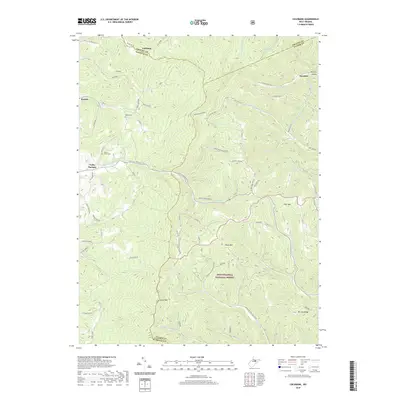
2019 Map of Colebank
USGS Topo · Published 2019About this map
Brushy Fork Church sits near the center of this 2019 survey, marking a traditional community hub within the complex drainage systems of Preston and Barbour counties. The landscape is defined by its deep hollows and high ridges, including Laurel Mtn and Texas Mtn, which frame the headwaters of numerous creeks such as Teter Creek and Licking Creek. The presence of Valley Furnace suggests the area's industrial past, while several cemeteries, including Shiloh Cem and Mount Cassell Cem, offer valuable touchpoints for genealogical research in these mountain settlements.
Find a feature on this map
67 named features on this map. Tap any name to fly to it.
Don’t see what you’re looking for? This feature index may not catch every label — zoom into the map to look around manually.
Map Details
Editions of this 2019 Colebank Map
This is the sole edition of this map. No revisions or reprints were ever made.
Other maps of this area

1886 · St. George
USGS Topo · 1:125,000

1891 · St. George
USGS Topo · 1:125,000

1907 · Thornton
USGS Topo · 1:62,500

1907 · Kingwood
USGS Topo · 1:62,500

1907 · Belington
USGS Topo · 1:62,500

1908 · Parsons
USGS Topo · 1:62,500

1925 · Kingwood
USGS Topo · 1:62,500

1926 · Thornton
USGS Topo · 1:62,500

1926 · Parsons
USGS Topo · 1:62,500

1927 · Belington
USGS Topo · 1:62,500