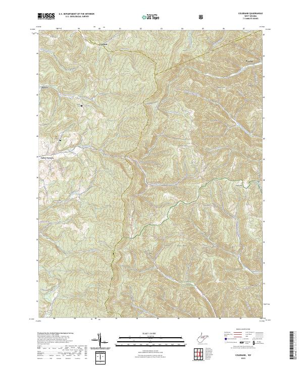
2023 Map of Colebank
USGS Topo · Published 2023About this map
Colebank lies at the convergence of Barbour and Preston counties, serving as a focal point for a landscape defined by narrow hollows and high ridges. This upland region transitions into the Monongahela National Forest to the south, where Texas Mtn and Laurel Mountain dominate the horizon. The settlement patterns follow the winding creek beds and mountain gaps, with small communities like Kasson and Hovatter established along the drainage networks of Licking Creek and Sandy Creek.
Find a feature on this map
68 named features on this map. Tap any name to fly to it.
Don’t see what you’re looking for? This feature index may not catch every label — zoom into the map to look around manually.
Map Details
Editions of this 2023 Colebank Map
This is the sole edition of this map. No revisions or reprints were ever made.
Other maps of this area

1886 · St. George
USGS Topo · 1:125,000

1891 · St. George
USGS Topo · 1:125,000

1907 · Thornton
USGS Topo · 1:62,500

1907 · Kingwood
USGS Topo · 1:62,500

1907 · Belington
USGS Topo · 1:62,500

1908 · Parsons
USGS Topo · 1:62,500

1925 · Kingwood
USGS Topo · 1:62,500

1926 · Thornton
USGS Topo · 1:62,500

1926 · Parsons
USGS Topo · 1:62,500

1927 · Belington
USGS Topo · 1:62,500