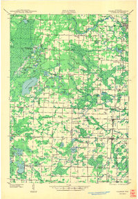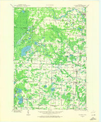
1941 Map of Coleman
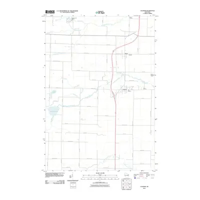
USGS Topo · Published 1972About this map
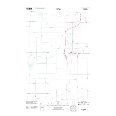
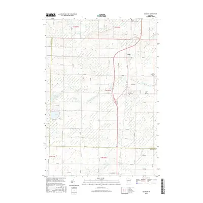
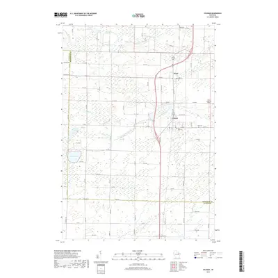
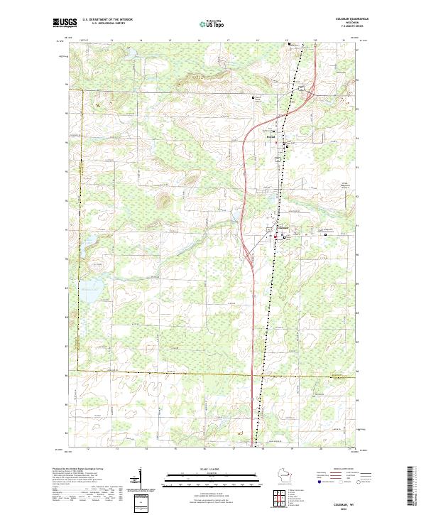
The Peshtigo River winds through this rural landscape on the border of Marinette and Oconto Counties, anchored by the settlements of Coleman, Pound, and Crivitz. In the early 1940s, the region was defined by a dense network of country schoolhouses such as Flower Nook Sch, Woodrow Wilson Sch, and Goldfield Sch, reflecting a time before school consolidation transformed the rural education system. Cultural landmarks like St Wenceslaus and the Second Polish Ch suggest the ethnic heritage of the local farming and timber communities. The landscape is also marked by significant water features, including the Sandstone Dam and the expansive White Potato Lake, with the Beaver Fire Tower standing as a sentinel over the surrounding woodlands and marshes.
Find a feature on this map
116 named features on this map. Tap any name to fly to it.
Don’t see what you’re looking for? This feature index may not catch every label — zoom into the map to look around manually.
Map Details
Editions of this 1941 Coleman Map
2 editions found
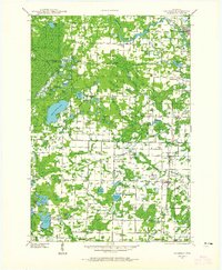
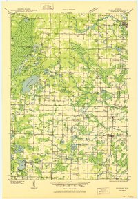
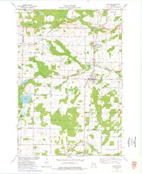
Historical Maps of Beaver Through Time
9 maps found