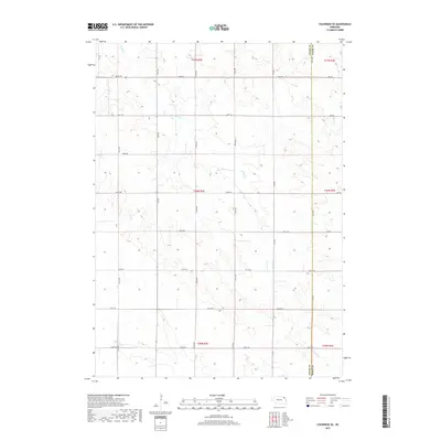
2017 Map of Coleridge SE
USGS Topo · Published 2017About this map
The rolling agricultural uplands along the Cedar Co and Dixon Co boundary are defined by a rhythmic grid of rural section roads and meandering stream valleys. In this corner of northeast Nebraska, the landscape is shaped by the drainage patterns of E Bow Cr and the headwaters of N Logan Cr. The land is meticulously subdivided into townships such as t30n r3e, where the road network follows a precise mile-by-mile interval. Genealogists and local historians can trace the exact section lines and road frontages, such as 882nd Rd and 572 Ave, which delineate the boundaries of family farmsteads. This 2017 survey reflects the enduring persistence of the Public Land Survey System, showing how the midwestern grid remains the foundational structure for the area's rural communities and land management more than a century after settlement.
Find a feature on this map
28 named features on this map. Tap any name to fly to it.
Don’t see what you’re looking for? This feature index may not catch every label — zoom into the map to look around manually.
Map Details
Editions of this 2017 Coleridge SE Map
This is the sole edition of this map. No revisions or reprints were ever made.
Other maps of this area

1898 · Elk Point
USGS Topo · 1:125,000

1901 · Elk Point
USGS Topo · 1:125,000

1907 · Elk Point
USGS Topo · 1:125,000

1955 · Sioux City
USGS Topo · 1:250,000

1958 · Sioux City
USGS Topo · 1:250,000

1959 · Sioux City
USGS Topo · 1:250,000

1964 · Martinsburg SW
USGS Topo · 1:24,000

1964 · Maskell
USGS Topo · 1:24,000
1967 · Concord
USGS Topo · 1:24,000

1968 · Obert
USGS Topo · 1:24,000