2023 Map of College Corner
USGS Topo · Published 2023About this map
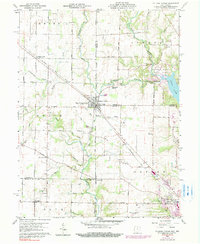
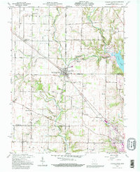
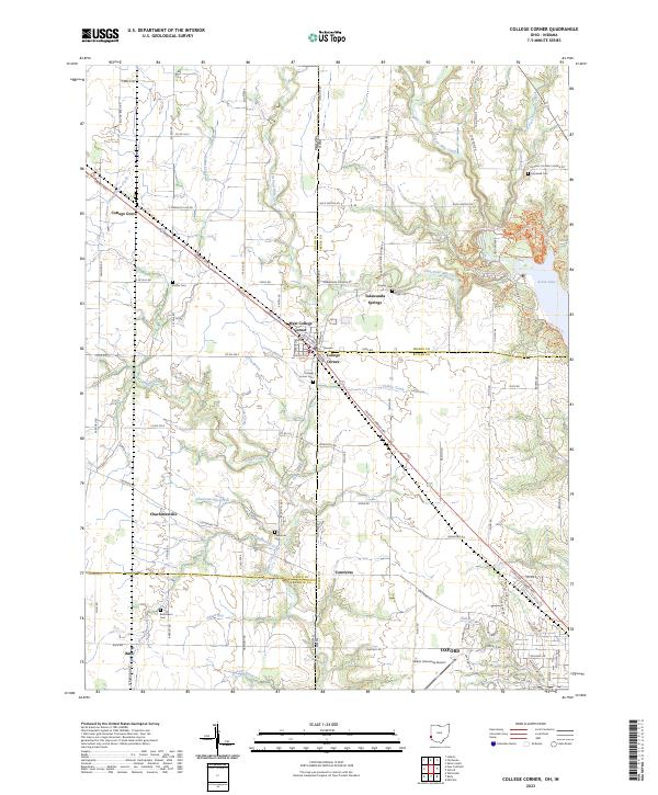
College Corner straddles the boundary of Indiana and Ohio, forming a dual-state community alongside West College Corner at the junction of Union, Preble, and Butler counties. This agricultural and collegiate landscape is defined by the headwaters of numerous waterways, including Four Mile Creek, Indian Creek, and Cottage Grove Creek. To the east, the recreational terrain near Acton Lake features a network of trails such as the Campground Loop Mountain Bike Trail and Sugar Bush Trail.
Find a feature on this map
113 named features on this map. Tap any name to fly to it.
Don’t see what you’re looking for? This feature index may not catch every label — zoom into the map to look around manually.
Map Details
Editions of this 2023 College Corner Map
This is the sole edition of this map. No revisions or reprints were ever made.
Historical Maps of Charlottesville Through Time
5 maps found