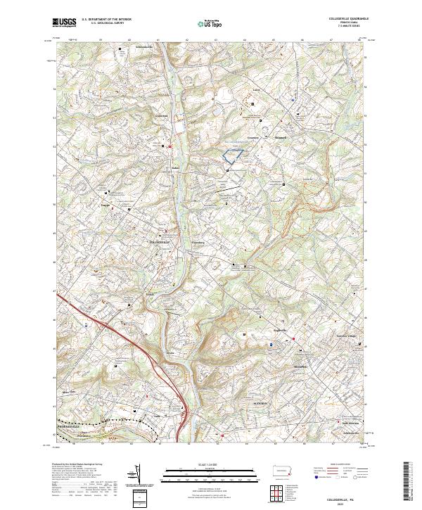
2023 Map of Collegeville
USGS Topo · Published 2023About this map
The Perkiomen Creek corridor serves as the central spine of this modern Montgomery County landscape, connecting a dense network of suburban boroughs and historic hamlets. In Collegeville, the campus of Ursinus College remains a focal point, while nearby Trappe preserves its Lutheran roots at the Augustus Lutheran Church Cem. The map reveals a high concentration of burial grounds from diverse faith traditions, including the Funkite Providence Mennonite Cem and the Upper Providence Meeting Burial Ground, reflecting centuries of German and Quaker settlement.
Find a feature on this map
74 named features on this map. Tap any name to fly to it.
Don’t see what you’re looking for? This feature index may not catch every label — zoom into the map to look around manually.
Map Details
Editions of this 2023 Collegeville Map
This is the sole edition of this map. No revisions or reprints were ever made.
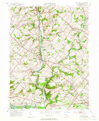
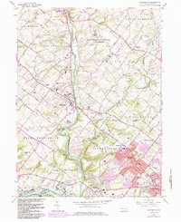
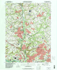
Historical Maps of Yerkes Through Time
4 maps found
Featured Locations
- Phoenixville, PA
- Skippack Township, PA
- Limerick Township, PA
- Worcester Township, PA
- Perkiomen Township, PA