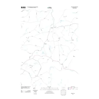
2013 Map of Colley
USGS Topo · Published 2013About this map
Wilmot and Cumiskey anchor this rural landscape in the southern tier of Bradford County, where the highlands of Tyler Mountain overlook a complex network of waterways. The drainage patterns are particularly intricate here, as the terrain divides between the Little Loyalsock Cr flowing to the west and the N Br Mehoopany Cr heading east. Agricultural land use is evident at the Pleasant Valley Fruit Farm, while small pockets of standing water like Saxe Pond and the high-elevation Crane Swamp dot the upland plateaus.
Find a feature on this map
79 named features on this map. Tap any name to fly to it.
Don’t see what you’re looking for? This feature index may not catch every label — zoom into the map to look around manually.
Map Details
Editions of this 2013 Colley Map
This is the sole edition of this map. No revisions or reprints were ever made.
Other maps of this area

1891 · Harveys Lake
USGS Topo · 1:62,500

1893 · Harvey Lake
USGS Topo · 1:62,500

1934 · Laporte
USGS Topo · 1:62,500

1943 · Monroeton
USGS Topo · 1:62,500

1945 · Meshoppen
USGS Topo · 1:62,500

1945 · Jenningsville
USGS Topo · 1:24,000

1945 · Laceyville
USGS Topo · 1:24,000

1946 · Dutch Mtn
USGS Topo · 1:24,000

1947 · Jenningsville
USGS Topo · 1:31,680
1947 · Laceyville
USGS Topo · 1:24,000
Featured Places
- Wilmot Township, PA
- Colley Township, PA
- Ellwell, Wilmot Township
- Albany Township, PA
- Cumiskey, Wilmot Township