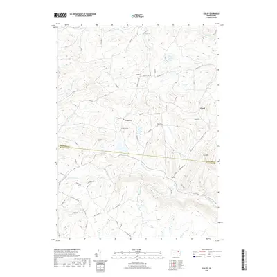
2019 Map of Colley
USGS Topo · Published 2019About this map
The boundary between Bradford and Sullivan Counties runs through this terrain, dividing a landscape of high ridges and deep watercourses. In the northern section, the hamlet of Wilmot sits near the headwaters of Foster Br and Sugar Run, while the small settlement of Ellwell is positioned to the east near Panther Lick Cr. Local history is preserved in several family and church burial sites, including the Norconk Cem, Cummiskey Cem, and Saint Johns Lutheran Cem.
Find a feature on this map
94 named features on this map. Tap any name to fly to it.
Don’t see what you’re looking for? This feature index may not catch every label — zoom into the map to look around manually.
Map Details
Editions of this 2019 Colley Map
This is the sole edition of this map. No revisions or reprints were ever made.
Other maps of this area

1891 · Harveys Lake
USGS Topo · 1:62,500

1893 · Harvey Lake
USGS Topo · 1:62,500

1934 · Laporte
USGS Topo · 1:62,500

1943 · Monroeton
USGS Topo · 1:62,500

1945 · Meshoppen
USGS Topo · 1:62,500

1945 · Jenningsville
USGS Topo · 1:24,000

1945 · Laceyville
USGS Topo · 1:24,000

1946 · Dutch Mtn
USGS Topo · 1:24,000

1947 · Jenningsville
USGS Topo · 1:31,680
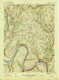
1947 · Laceyville
USGS Topo · 1:24,000
Featured Places
- Wilmot Township, PA
- Colley Township, PA
- Ellwell, Wilmot Township
- Albany Township, PA
- Cumiskey, Wilmot Township